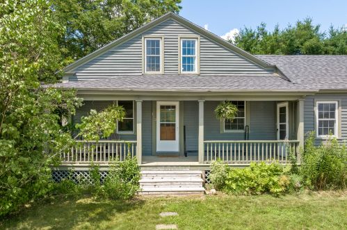
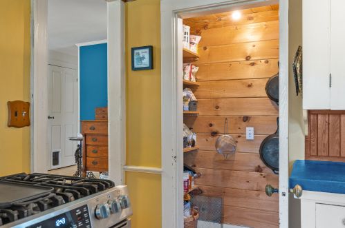
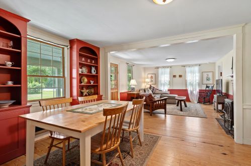
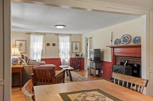
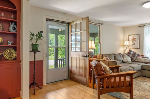
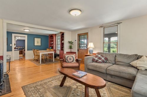
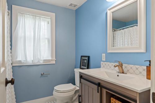
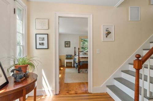
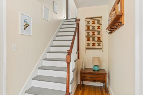
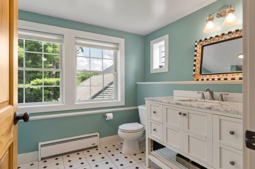
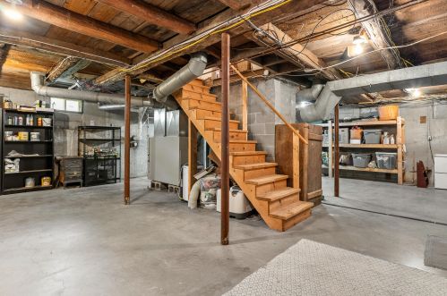
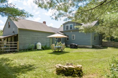
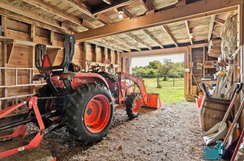
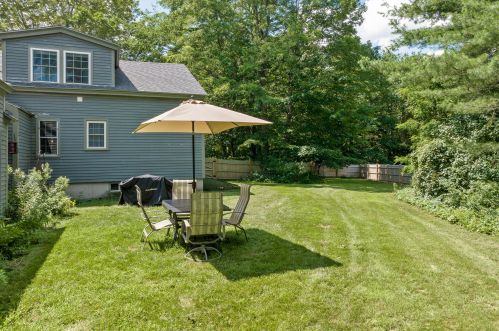
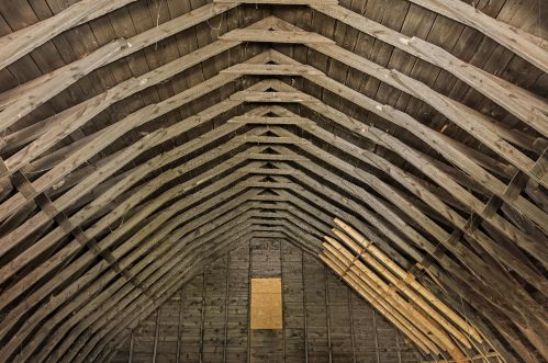
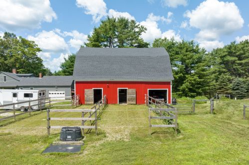
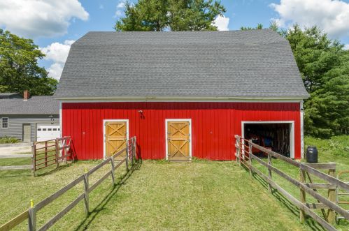
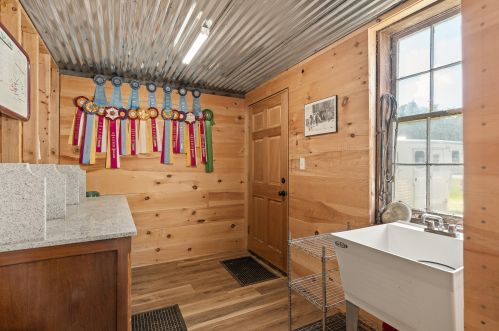
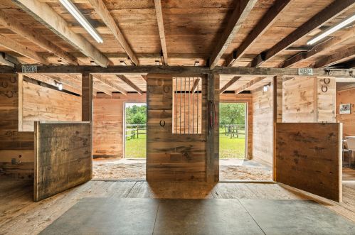
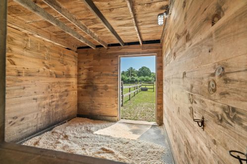
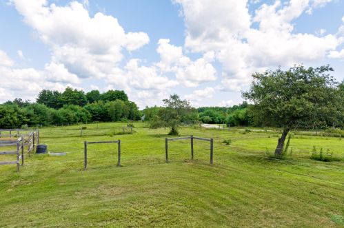
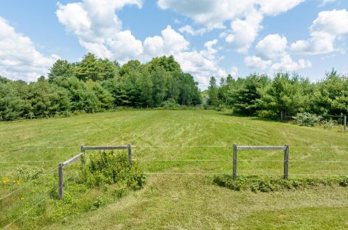
102 Durham Rd, Mere Point ME  04011-7247 exterior 102 Durham Rd, Mere Point ME  04011-7247 exterior 102 Durham Rd, Mere Point ME  04011-7247 exterior

102 Durham Rd Mere Point, ME 04011 / 7247

Residence for Single Family

(UPDATED: 09/07/2023)
  • 2 Beds
  • 2 Baths
  • 4.69 acres
For Sale
$650,000
Property Report

Information about property on 102 Durham Rd, Mere Point ME, 04011-7247. Find out owner contacts, building history, price, neighborhood at Homemetry Address Directory.

Property Details

A single-family home at 102 Durham Rd, Mere Point, Maine.

Facts

  • Lot size 4,69 acres
  • Bedrooms 2

Householders and Tenants for 102 Durham Rd, Mere Point ME

Possible residents contact details

Person Name Phone Number Additional Info
Brenda C Masse Age: 59
207-725-****
Edie Hoffman
207-373-****
Edwin Perkins
207-373-****
Edythe M Hoffman Age: 58
207-373-****
Michelle T Gagnon Age: 56
207-373-****
Patk Masse
207-725-****
Patrick J Masse Age: 62
207-725-****
Residential status:
Homeowner
Job:
Production Occupations

Businesses

Organization Phone Number Additional Info
Vintage Perkins
207-373-****
Industry:
DesignCustom Cabinets

Possible Businesses

Organization Phone Number Additional Info
Old Fashioned Milk Paint Co
Industry:
Whol Paints/Varnishes

Where is 102 Durham Rd, Mere Point ME located on map?

Market Activities

To date, we have no information about market activities in 2024
Sep 2023 Listed for sale
102 Durham Rd
Price history :
  • Single Family
  • 1,810 sqft
  • 4 beds
  • 2 baths
Aug 2016 Sold
102 Durham Rd
Price history :
  • Single-Family Home
  • 4.78 acres
  • 4 beds
  • 2 baths

View more

Durham Rd Fire Incident History

To date, we have no information about fire incidents in 2024
21 May 2018 Forest, woods or wildland fire
Property Use —
Open land or field
Area of Origin —
Wildland, woods
First Ignition —
Light vegetation - not crop, including grass
Heat Source —
Hot ember or ash
21 May 2018 Forest, woods or wildland fire
Property Use —
Open land or field
Area of Origin —
Wildland, woods
First Ignition —
Light vegetation - not crop, including grass
Heat Source —
Heat, spark from friction
25 Nov 2017 Building fires
Property Use —
1 or 2 family dwelling
24 Aug 2017 Building fires
Property Use —
Outbuilding or shed
Area of Origin —
Wall surface: exterior
First Ignition —
Exterior wall covering or finish

View more

102 Durham Rd incidents registered in FEMA
(Federal Emergency Management Agency)

To date, we have no information about incidents registered in FEMA in 2024
28 Nov 2014 Carbon monoxide incident
Property Use —
1 or 2 family dwelling

Durham Rd Incidents registered in FEMA
(Federal Emergency Management Agency)

To date, we have no information about incidents registered in FEMA in 2024
18 Mar 2015 Power line down
Property Use —
Residential street, road or residential driveway
28 Nov 2014 Carbon monoxide incident
Property Use —
1 or 2 family dwelling
23 Sep 2014 Carbon monoxide incident
Property Use —
1 or 2 family dwelling
20 Jan 2014 Authorized controlled burning
Property Use —
Open land or field

View more

Properties Nearby

Street AddressResidens/Landlords
61 Durham Rd, Mere Point, ME 04011-8206
  • 2 beds
  • 2 baths
  • Lot: 3.81 acres
  • Built in 1985
David C Bright, Emily Bright
105 Durham Rd, Mere Point, ME 04011-7222
Single-Family Home
  • 4 beds
  • 2 baths
  • Lot: 1.66 acres
  • Built in 1963
Darren Doyle, Annette L Haas
140 Durham Rd, Mere Point, ME 04011-7224
Single-Family Home
  • 4 beds
  • 2 baths
  • Lot: 1.95 acres
  • Built in 2001
Dorothy R Treadwell, Michael S Treadwell
 

FAQ about the house at 102 Durham Rd, Mere Point, ME


NOTICE: You may not use SpamRoom or the information it provides to make decisions about employment, credit, housing or any other purpose that would require Fair Credit Reporting Act (FCRA) compliance. SpamRoom is not a Consumer Reporting Agency (CRA) as defined by the FCRA and does not provide consumer reports.