Purchase History
| Date | Event | Price | Source | Agents |
|---|---|---|---|---|
| 03/16/2005 | Sold | $610,000 | Public records | |
| 05/06/1997 | Sold | $163,000 | Public records | |
| 06/20/1996 | Sold | $35,000 | Public records | |
| 09/08/1995 | Sold | $35,000 | Public records |
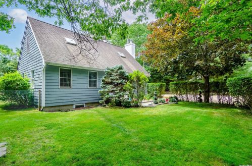
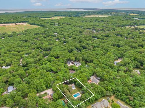
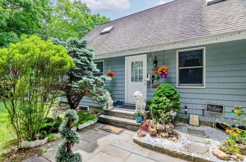
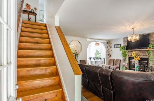
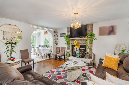
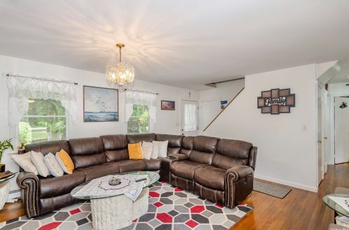
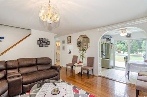
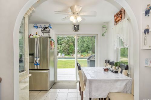
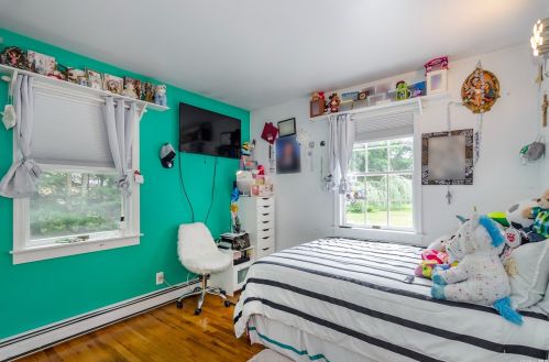
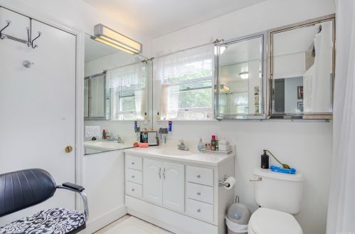
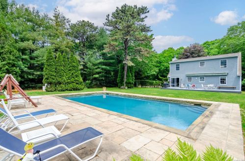
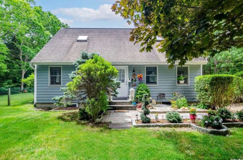
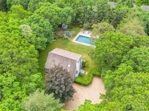
PURCHASE HISTORY 9 Cedar Dr, East Hampton NY
Cost estimate history
| Year | Tax | Assessment | Market |
|---|---|---|---|
| 2013 | N/A | $6,550 | N/A |
Market Activities
To date, we have no information about market activities in 2025
Jun 2024
Listed for sale
Nov 2022
Listed for sale
Jun 2022
Listed for sale
Cedar Dr Fire Incident History
To date, we have no information about fire incidents in 2025
01 Jul 2014
Building fires
Property Use —
1 or 2 family dwelling
Area of Origin —
Outside area, other
First Ignition —
Organic materials, other
Heat Source —
Hot or smoldering object, other
9 Cedar Dr incidents registered in FEMA
(Federal Emergency Management Agency)
To date, we have no information about incidents registered in FEMA in 2025
15 May 2011
Unauthorized burning
Property Use —
Residential street, road or residential driveway
Cedar Dr Incidents registered in FEMA
(Federal Emergency Management Agency)
To date, we have no information about incidents registered in FEMA in 2025
01 Jul 2014
Building fires
15 May 2011
Unauthorized burning
Property Use —
Residential street, road or residential driveway
Properties Nearby
| Street Address | Residens/Landlords | |
|---|---|---|
7 Cedar Dr, East Hampton, NY 11937-1918 Single Family Residential
|
Carlos Armando, Samuel D Pharaoh | |
42 Cedar Dr, East Hampton, NY 11937-1410 Single Family Residential
|
DIAMOND HARD WOOD FLOORS, Diamond Hardwood Floors | |
64 Cedar Dr, East Hampton, NY 11937-1477 Single Family Residential
|
Nancy S Eils, Nancy Epls | |
72 Cedar Dr, East Hampton, NY 11937-1477
|
||
77 Cedar Dr, East Hampton, NY 11937-1476 Single Family Residential
|
Alec Green, Dawn Green | |
81 Cedar Dr, East Hampton, NY 11937-1476 Single Family Residential
|
James C Bufalino, Linda B Butti | |
82 Cedar Dr, East Hampton, NY 11937-1477 Single Family Residential
|
Risa L Peters, Anthony A Sessa | |
84 Cedar Dr, East Hampton, NY 11937-1477 Lot/Land
|