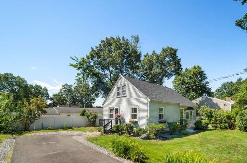

Cost estimate history
| Year | Tax | Assessment | Market |
|---|---|---|---|
| 2014 | $3,478 | $144,600 | N/A |
Market Activities
89 Linton St incidents registered in FEMA
(Federal Emergency Management Agency)
To date, we have no information about incidents registered in FEMA in 2025
01 Apr 2011
Power line down
Property Use —
Residential street, road or residential driveway
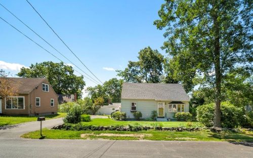
Linton St Incidents registered in FEMA
(Federal Emergency Management Agency)
To date, we have no information about incidents registered in FEMA in 2025
18 Jun 2015
Authorized controlled burning
Property Use —
Open land or field
18 Sep 2014
Authorized controlled burning
Property Use —
Open land or field
13 Aug 2013
Authorized controlled burning
Property Use —
Open land or field
10 Apr 2012
Authorized controlled burning
Property Use —
1 or 2 family dwelling
Properties Nearby
| Street Address | Residens/Landlords | |
|---|---|---|
| Mark James Pelletier | ||
| Daniel Pultorak | ||
| Paul L Corriveau, Jeffrey G Stockman |