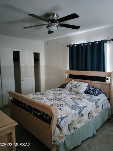
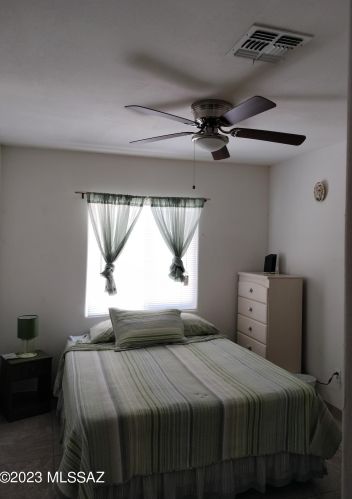
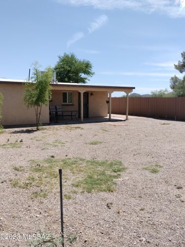
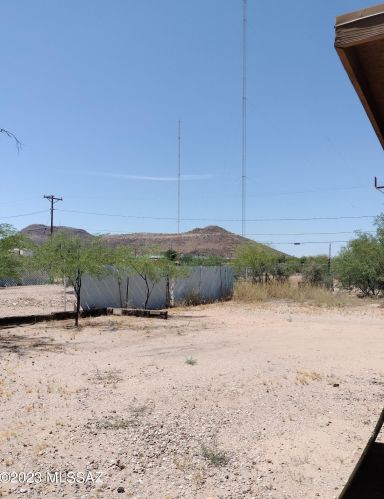
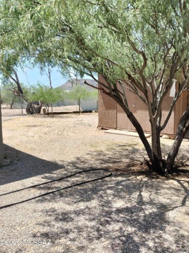
Purchase History
| Date | Event | Price | Source | Agents |
|---|---|---|---|---|
| 12/05/2002 | Sold | $102,000 | Public records |
Cost estimate history
| Year | Tax | Assessment | Market |
|---|---|---|---|
| 2013 | N/A | N/A | $61,106 |
| 2012 | $911 | N/A | N/A |
Market Activities
To date, we have no information about market activities in 2025
Jun 2024
Listed for sale
Jan 2024
Listed for sale
Jun 2023
Listed for sale
Apr 2023
Listed for sale
Nov 2022
Listed for sale
Jul 2022
Listed for sale
Nov 2015
Sold
Building Permits
To date, we have no information about building permits in 2025
Oct 17, 2013
Description: Connect sewer to residence
- Parcel #: 118110390
- Permit #: T13CM06353
Jun 16, 2010
Description: Grass/weeds, trash/debris
- Parcel #: 118110390
- Permit #: T10DV03939
Feb 19, 2010
Description: Gas reconnect
- Parcel #: 118110390
- Permit #: T10PL00275
Dec 4, 2009
Description: Electric:reconnect res
- Parcel #: 118110390
- Permit #: T09EL02671
Aug 27, 2009
Description: Parcel has excessive junk motor vehicles, trash, debris and presents safety hazards.
- Parcel #: 118110390
- Permit #: T09DV05012
Jun 29, 1998
Description: Res/elec/recon
- Parcel #: 118110390
- Permit #: 69262
844 34th St Fire Incident History
To date, we have no information about fire incidents in 2025
14 Apr 2018
Outside rubbish fire, other
Property Use —
Outside or special property, other
Area of Origin —
Open area - outside; included are farmland, field
34 St Fire Incident History
To date, we have no information about fire incidents in 2025
13 Jul 2019
Fire, other
Property Use —
Manufacturing, processing
Area of Origin —
Technical processing areas, other
First Ignition —
Cabinetry (including built-in)
Heat Source —
Hot or smoldering object, other
05 Jul 2019
Grass fire
Property Use —
Open land or field
First Ignition —
Light vegetation - not crop, including grass
29 Jun 2018
Trash or rubbish fire, contained
Property Use —
1 or 2 family dwelling
Heat Source —
Hot or smoldering object, other
14 Apr 2018
Outside rubbish fire, other
Property Use —
Outside or special property, other
Area of Origin —
Open area - outside; included are farmland, field
34 St Incidents registered in FEMA
(Federal Emergency Management Agency)
To date, we have no information about incidents registered in FEMA in 2025
29 Apr 2015
Power line down
Property Use —
Residential street, road or residential driveway
05 Feb 2015
Gas leak (natural gas or LPG)
Property Use —
Street, other
01 Nov 2014
Brush, or brush and grass mixture fire
Property Use —
Open land or field
Properties Nearby
| Street Address | Residens/Landlords |
|---|
