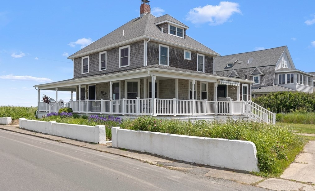
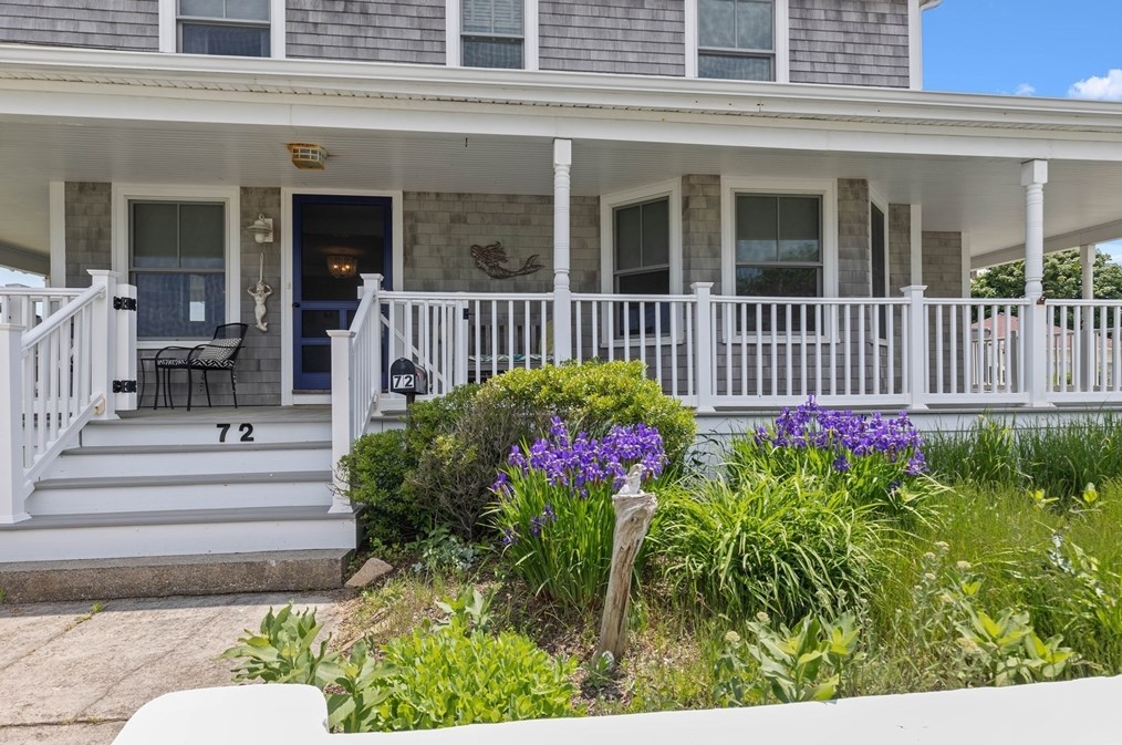
72 B St Hull, MA 02045 / 1941

Residence for Single Family

(UPDATED: 07/18/2025)
  • 6 Beds
  • 1 Baths
  • 2.100 square feet
Sold Jul 2024
$2,500,000
Property Report

Information about property on 72 B St, Hull MA, 02045-1941. Find out owner contacts, building history, price, neighborhood at Homemetry Address Directory.

Property Details

A colonial style single-family two-story residence at 72 B St, Hull, MA.

Facts

  • Built in 1890
  • Lot size 0,25 acres
  • Floor size 2,100 sqft
  • Rooms 9
  • Bedrooms 6
  • Bathrooms 1,5
  • Stories 2
  • Structure type Colonial
  • Heating & Cooling
  • Heat type Other
  • Exterior Home Features
  • Exterior material Vinyl
  • Roof type Asphalt

Listing info

  • Last sold Oct 1999 for $497,500

Features

  • Fireplace
  • Pool

Householders and Tenants for 72 B St, Hull MA

Possible residents contact details

Person Name Phone Number Additional Info
Barbara Schoell Age: 88
781-925-****
Barbara Scholle
Jane Loeffler
781-925-****
Richard Schoell Age: 88
781-925-****
Robert H Loeffler
781-925-****

Where is 72 B St, Hull MA located on map?

Market Activities

To date, we have no information about market activities in 2025
Jul 2024 Sold
72 B St
Price history :
  • Single Family
  • 2,397 sqft
  • 6 beds
  • 3 baths
Jun 2024 Listed for sale
72 B St
Price history :
  • Single Family
  • 2,397 sqft
  • 6 beds
  • 3 baths
Jun 2022 Sold
72 B St
Price history :
$2M
  • Single Family
  • 2,397 sqft
  • 6 beds
  • 3 baths

View more

B St Fire Incident History

To date, we have no information about fire incidents in 2025
10 Jul 2013 Passenger vehicle fire
Property Use —
Street, other
Area of Origin —
Engine area, running gear, wheel area
25 Jun 2007 Water vehicle fire
Property Use —
Water area, other
Area of Origin —
Vehicle area, other
First Ignition —
Flammable liquid/gas in container or pipe
Heat Source —
Incendiary device

72 B St incidents registered in FEMA
(Federal Emergency Management Agency)

To date, we have no information about incidents registered in FEMA in 2025
05 Jul 2005 Unauthorized burning
Property Use —
Vacant lot
06 Dec 2003 Power line down
Property Use —
Residential street, road or residential driveway

B St Incidents registered in FEMA
(Federal Emergency Management Agency)

To date, we have no information about incidents registered in FEMA in 2025
24 Sep 2015 Unauthorized burning
Property Use —
1 or 2 family dwelling
26 Jan 2015 Gas leak (natural gas or LPG)
Property Use —
Street, other
02 Nov 2014 Carbon monoxide incident
Property Use —
1 or 2 family dwelling
31 May 2014 Hazardous condition, other
Property Use —
1 or 2 family dwelling

View more

Properties Nearby

Street AddressResidens/Landlords
22 B St, Hull, MA 02045-1943
Single Family
  • 3 beds
  • 1.5 baths
  • 1,286 sqft
  • Built in 1930
Robert Breese, Robin Breese
23 B St, Hull, MA 02045-1944
Single Family
  • 3 beds
  • 2 baths
  • 1,008 sqft
  • Built in 1935
Eileen Ackers, David J Charubini
28 B St, Hull, MA 02045-1943
Single Family
  • 2 beds
  • 2 baths
  • 1,248 sqft
  • Built in 1945
Jennifer B Long, R E Pearson
34 B St, Hull, MA 02045-1943
Single Family
  • 3 beds
  • 1 bath
  • 2,022 sqft
  • Built in 1910
Jacquelin Tullish, Janelle N Tullish
 

FAQ about the house at 72 B St, Hull, MA


NOTICE: You may not use SpamRoom or the information it provides to make decisions about employment, credit, housing or any other purpose that would require Fair Credit Reporting Act (FCRA) compliance. SpamRoom is not a Consumer Reporting Agency (CRA) as defined by the FCRA and does not provide consumer reports.