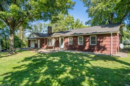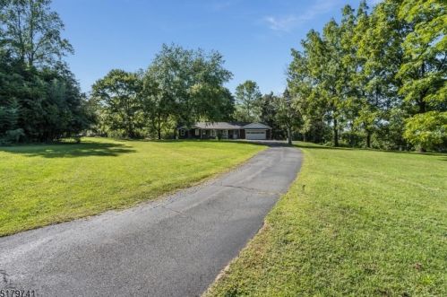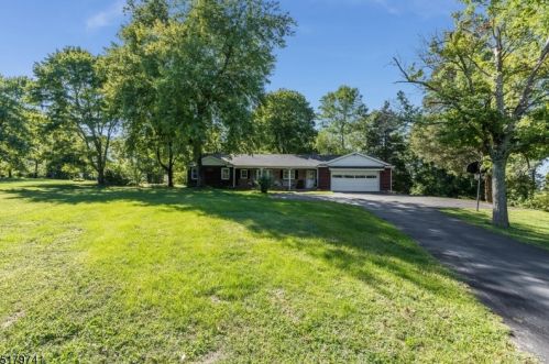
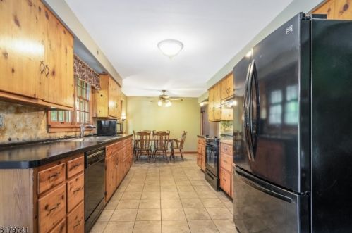
Purchase History
| Date | Event | Price | Source | Agents |
|---|---|---|---|---|
| 07/31/2000 | Sold | $202,500 | Public records |
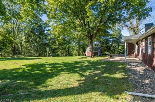
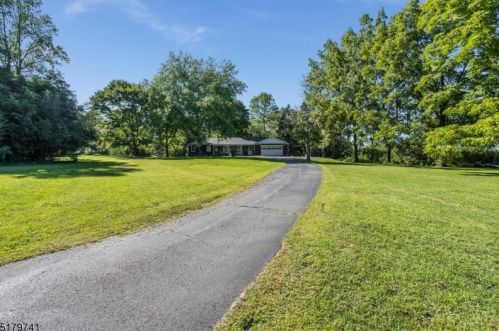
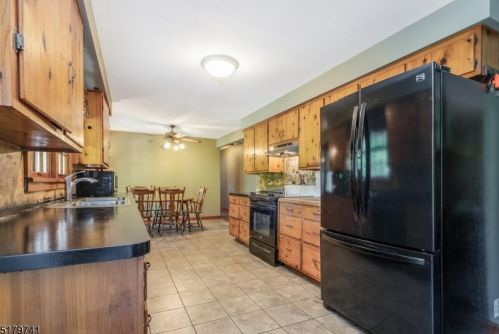
Cost estimate history
| Year | Tax | Assessment | Market |
|---|---|---|---|
| 2014 | N/A | $244,800 | N/A |
| 2013 | $5,655 | N/A | N/A |
Market Activities
Route 31 Fire Incident History
To date, we have no information about fire incidents in 2025
10 Feb 2017
Passenger vehicle fire
Property Use —
Highway or divided highway
Area of Origin —
Engine area, running gear, wheel area
08 Apr 2014
Brush, or brush and grass mixture fire
Property Use —
Highway or divided highway
Area of Origin —
Open area - outside; included are farmland, field
10 Mar 2013
Brush, or brush and grass mixture fire
Property Use —
1 or 2 family dwelling
Area of Origin —
Open area - outside; included are farmland, field
First Ignition —
Light vegetation - not crop, including grass
Heat Source —
Flame/torch used for lighting
04 Feb 2013
Building fires
Property Use —
1 or 2 family dwelling
Area of Origin —
Ceiling & floor assembly, crawl space b/t stories
First Ignition —
Interior ceiling cover or finish
Heat Source —
Heat from other open flame or smoking materials
Route 31 Incidents registered in FEMA
(Federal Emergency Management Agency)
To date, we have no information about incidents registered in FEMA in 2025
01 Sep 2015
Unauthorized burning
Property Use —
Highway or divided highway
11 Dec 2014
Vehicle accident, general cleanup
Property Use —
Highway or divided highway
25 Aug 2014
Gas leak (natural gas or LPG)
Property Use —
1 or 2 family dwelling
21 Jun 2014
Unauthorized burning
Property Use —
Mercantile, business, other
Properties Nearby
| Street Address | Residens/Landlords |
|---|