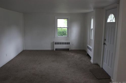
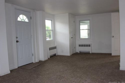


Cost estimate history
| Year | Tax | Assessment | Market |
|---|---|---|---|
| 2014 | $2,215 | $64,010 | N/A |
Market Activities
To date, we have no information about market activities in 2025
Jun 2023
Sold
Dec 2022
Listed for sale
Feb 2022
Sold
Broad St Fire Incident History
To date, we have no information about fire incidents in 2025
16 Aug 2019
Grass fire
Property Use —
Street or road in commercial area
Area of Origin —
Wildland, woods
First Ignition —
Light vegetation - not crop, including grass
Heat Source —
Arcing
29 Jul 2019
Road freight or transport vehicle fire
Property Use —
Manufacturing, processing
Area of Origin —
Cargo/trunk area - all vehicles
First Ignition —
Bedding; blanket, sheet, comforter
Heat Source —
Hot ember or ash
04 Jun 2019
Brush, or brush and grass mixture fire
Property Use —
Professional supplies, services
Area of Origin —
Railroad right of way: on or near
First Ignition —
Light vegetation - not crop, including grass
Heat Source —
Cigarette
05 Feb 2019
Building fires
Property Use —
Industrial plant yard - area
Area of Origin —
Machinery room or area; elevator machinery room
First Ignition —
Item First Ignited, Other
Heat Source —
Hot ember or ash
377 Broad St incidents registered in FEMA
(Federal Emergency Management Agency)
To date, we have no information about incidents registered in FEMA in 2025
17 Jul 2004
Unauthorized burning
Property Use —
1 or 2 family dwelling
Broad St Incidents registered in FEMA
(Federal Emergency Management Agency)
To date, we have no information about incidents registered in FEMA in 2025
02 Oct 2015
Chemical spill or leak
Property Use —
Lake, river, stream
13 Sep 2015
Unauthorized burning
Property Use —
1 or 2 family dwelling
14 Aug 2015
Outside rubbish fire, other
Property Use —
Manufacturing, processing
06 Aug 2015
Outside rubbish fire, other
Property Use —
1 or 2 family dwelling
Properties Nearby
| Street Address | Residens/Landlords |
|---|