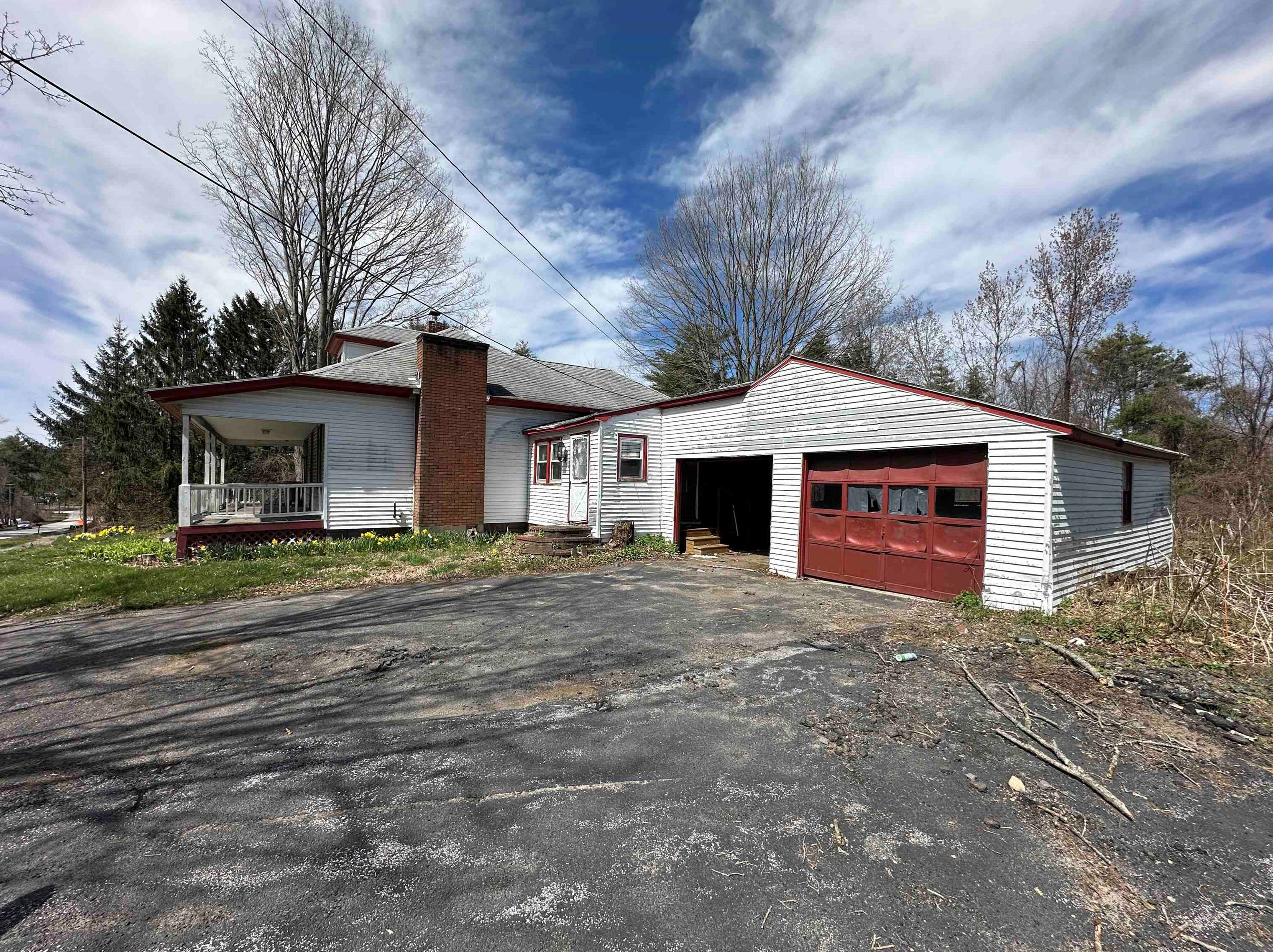
Cost estimate history
| Year | Tax | Assessment | Market |
|---|---|---|---|
| 2013 | $4,834 | $153,500 | N/A |
Market Activities
Derry Rd Fire Incident History
To date, we have no information about fire incidents in 2025
21 Dec 2019
Brush, or brush and grass mixture fire
Property Use —
Outside or special property, other
Area of Origin —
Outside area, other
First Ignition —
Light vegetation - not crop, including grass
Heat Source —
Hot ember or ash
18 Jan 2014
Passenger vehicle fire
Property Use —
Street, other
Area of Origin —
Engine area, running gear, wheel area
Heat Source —
Radiated, conducted heat from operating equipment
25 Apr 2009
Brush, or brush and grass mixture fire
Property Use —
1 or 2 family dwelling
Area of Origin —
Open area - outside; included are farmland, field
First Ignition —
Light vegetation - not crop, including grass
Heat Source —
Hot or smoldering object, other
27 Oct 2001
Brush, or brush and grass mixture fire
Property Use —
Open land or field
Area of Origin —
Outside area, other
First Ignition —
Light vegetation - not crop, including grass
36 Derry Rd incidents registered in FEMA
(Federal Emergency Management Agency)
To date, we have no information about incidents registered in FEMA in 2025
01 Oct 2015
Carbon monoxide incident
Property Use —
1 or 2 family dwelling
Derry Rd Incidents registered in FEMA
(Federal Emergency Management Agency)
To date, we have no information about incidents registered in FEMA in 2025
01 Oct 2015
Carbon monoxide incident
Property Use —
1 or 2 family dwelling
28 Jan 2014
Gasoline or other flammable liquid spill
Property Use —
Residential street, road or residential driveway
15 Dec 2013
Carbon monoxide incident
Property Use —
1 or 2 family dwelling
30 Aug 2012
Vehicle accident, general cleanup
Property Use —
Street, other
Properties Nearby
| Street Address | Residens/Landlords |
|---|