
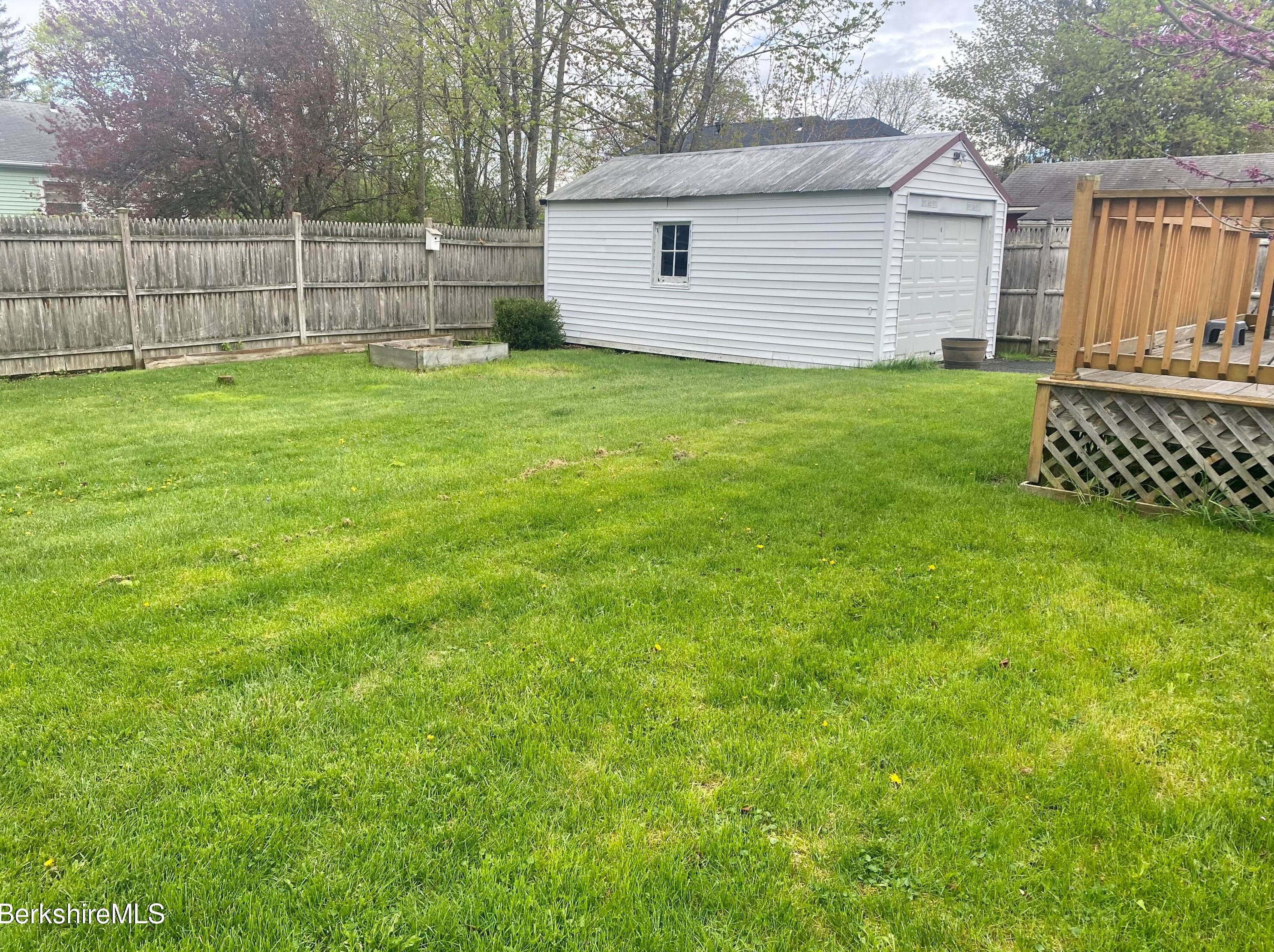
Purchase History
| Date | Event | Price | Source | Agents |
|---|---|---|---|---|
| 01/16/2003 | Sold | $99,750 | Public records |
Cost estimate history
| Year | Tax | Assessment | Market |
|---|---|---|---|
| 2014 | $2,077 | $121,100 | N/A |
Market Activities
29 State St Fire Incident History
To date, we have no information about fire incidents in 2025
08 Oct 2006
Special outside fire, other
Property Use —
1 or 2 family dwelling
Area of Origin —
Other
First Ignition —
Item First Ignited, Other
Heat Source —
Heat source: other
State St Fire Incident History
To date, we have no information about fire incidents in 2025
06 Apr 2010
Building fires
Property Use —
1 or 2 family dwelling
Area of Origin —
Switchgear area, transformer vault
First Ignition —
Electrical wire, cable insulation
Heat Source —
Molten, hot material
05 Apr 2010
Outside storage fire
Property Use —
1 or 2 family dwelling
Area of Origin —
Wildland, woods
First Ignition —
Light vegetation - not crop, including grass
Heat Source —
Hot ember or ash
20 Apr 2008
Brush, or brush and grass mixture fire
Property Use —
1 or 2 family dwelling
Area of Origin —
Wildland, woods
First Ignition —
Light vegetation - not crop, including grass
Heat Source —
Hot ember or ash
14 Feb 2008
Building fires
Property Use —
Outbuilding or shed
Area of Origin —
Shipping/receiving area; loading area, dock or bay
First Ignition —
Structural member or framing
Heat Source —
Spark, ember or flame from operating equipment
29 State incidents registered in FEMA
(Federal Emergency Management Agency)
To date, we have no information about incidents registered in FEMA in 2025
15 Jul 2008
Outside rubbish, trash or waste fire
Property Use —
1 or 2 family dwelling
27 Feb 2008
Hazardous condition, other
Property Use —
1 or 2 family dwelling
State St Incidents registered in FEMA
(Federal Emergency Management Agency)
To date, we have no information about incidents registered in FEMA in 2025
15 May 2015
Cooking fire, confined to container
Property Use —
1 or 2 family dwelling
09 Apr 2013
Unauthorized burning
Property Use —
Graded and cared-for plots of land
14 Jan 2012
Unauthorized burning
Property Use —
1 or 2 family dwelling
21 Apr 2009
Authorized controlled burning
Property Use —
1 or 2 family dwelling
Properties Nearby
| Street Address | Residens/Landlords | |
|---|---|---|
16 State St, Pittsfield, MA 01201-4906 Single Family
|
Pauline Pauline, Erika Penna | |
19 State St, Pittsfield, MA 01201-4911 Single Family
|
Jean L Lussier, Ken C Lussier | |
22 State St, Pittsfield, MA 01201-4906 Single Family
|
Mary C Moran, Teresa Moran | |
25 State St, Pittsfield, MA 01201-4911 Single Family
|
Jennifer A Clark, Katelyn A Clark | |
28 State St, Pittsfield, MA 01201-4906 Single Family
|
Agnes Blumendale, Genevieve D Blumendale | |
30 State St, Pittsfield, MA 01201-4906 Single Family
|
Michelle Drake, Heather L Gaetani | |
33 State St, Pittsfield, MA 01201-4911 Single Family
|
Nancy A Kipp, Jeff Murray | |
36 State St, Pittsfield, MA 01201-4906 Single Family
|
Cheryl A Barile, Louise A Dibeneditto | |
39 State St, Pittsfield, MA 01201-4911 Single Family
|
Joseph A Penna, Mary M Penna | |
40 State St, Pittsfield, MA 01201-4906 Single Family
|
Frank Maffuccio, Mary P Maffuccio |