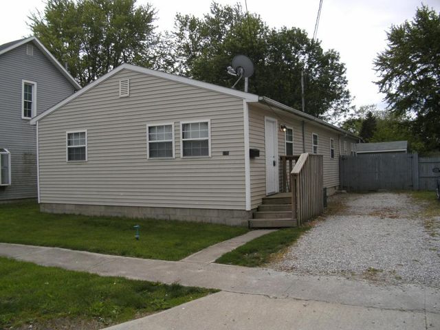
Cost estimate history
| Year | Tax | Assessment | Market |
|---|---|---|---|
| 2012 | $561 | $22,750 | $65,000 |
Market Activities
Barnhart St Fire Incident History
To date, we have no information about fire incidents in 2025
28 Mar 2016
Building fires
Property Use —
1 or 2 family dwelling
Area of Origin —
Common room, den, family room, living room, lounge
23 Mar 2012
Passenger vehicle fire
Property Use —
Residential street, road or residential driveway
Area of Origin —
Engine area, running gear, wheel area
First Ignition —
Electrical wire, cable insulation
19 Feb 2005
Passenger vehicle fire
Property Use —
Graded and cared-for plots of land
Area of Origin —
Engine area, running gear, wheel area
First Ignition —
Flammable liquid/gas - in/from engine or burner
Heat Source —
Radiated, conducted heat from operating equipment
16 Nov 2000
Structure fire, other (conversion only)
Property Use —
1 or 2 family dwelling
Area of Origin —
Heating room or area, water heater area
First Ignition —
Electrical wire, cable insulation
Heat Source —
Arcing
275 Barnhart St incidents registered in FEMA
(Federal Emergency Management Agency)
To date, we have no information about incidents registered in FEMA in 2025
22 Mar 2014
Carbon monoxide incident
Property Use —
1 or 2 family dwelling
Barnhart St Incidents registered in FEMA
(Federal Emergency Management Agency)
To date, we have no information about incidents registered in FEMA in 2025
22 Mar 2014
Carbon monoxide incident
Property Use —
1 or 2 family dwelling
16 Jan 2014
Unauthorized burning
Property Use —
1 or 2 family dwelling
16 Jan 2014
Unauthorized burning
Property Use —
1 or 2 family dwelling
30 Jul 2013
Cooking fire, confined to container
Property Use —
1 or 2 family dwelling
Properties Nearby
| Street Address | Residens/Landlords | |
|---|---|---|
246 Barnhart St, Marion, OH 43302-3204 Single Family Residential
|
Heath R Bingley, Shelley Call | |
252 Barnhart St, Marion, OH 43302-3204 Single Family Residential
|
Shannon Dunaway, Michael Goffos | |
256 Barnhart St, Marion, OH 43302-3204 Single Family Residential
|
Paula Dehaven, Thomas W Dehaven | |
265 Barnhart St, Marion, OH 43302-3246 Single Family Residential
|
Jeffrey Cornely, Joan H Keen | |
271 Barnhart St, Marion, OH 43302-3246 Single Family Residential
|
Gayle Farlee, Allyson Keen | |
280 Barnhart St, Marion, OH 43302-3204 Single Family Residential
|
Bruce A Snyder, Nancy J Snyder | |
281 Barnhart St, Marion, OH 43302-3246 Single Family Residential
|
Pamela K Ellis, Scotty Hall |
