


Purchase History
| Date | Event | Price | Source | Agents |
|---|---|---|---|---|
| 06/21/2013 | Sold | $130,000 | Public records | |
| 09/14/2011 | Sold | $82,000 | Agent Submission | Mike Schubert |
| 04/01/2011 | Sold | $82,000 | Public records | |
| 09/11/2009 | Sold | $99,000 | Public records | |
| 05/04/2009 | Sold | $80,750 | Public records | |
| 09/01/2005 | Sold | $261,000 | Public records |
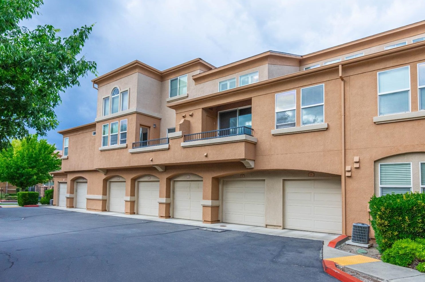
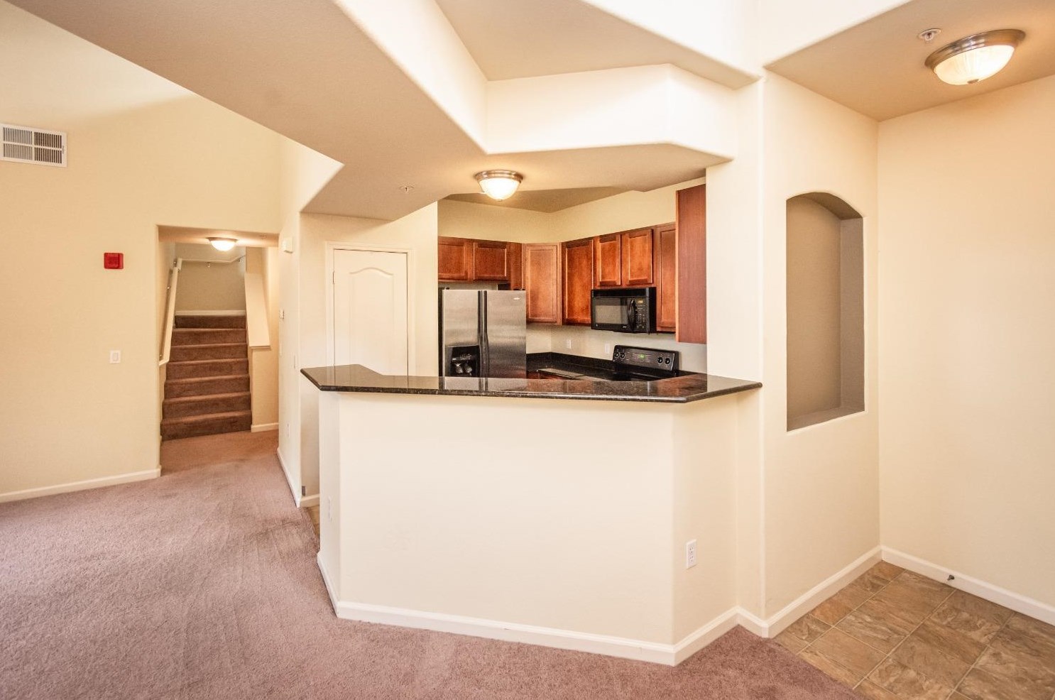
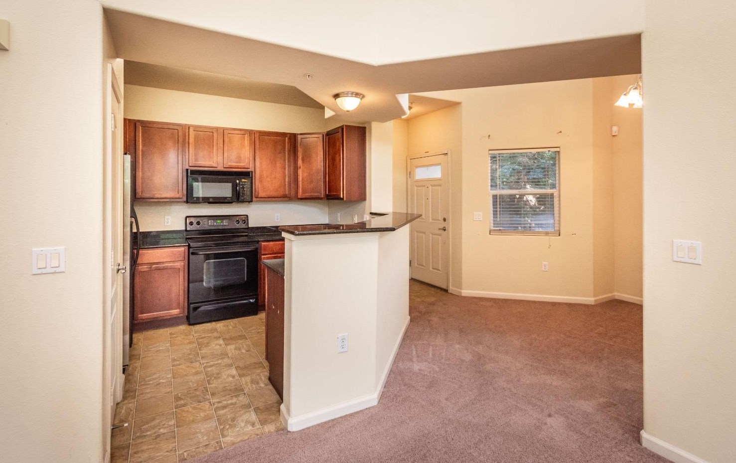
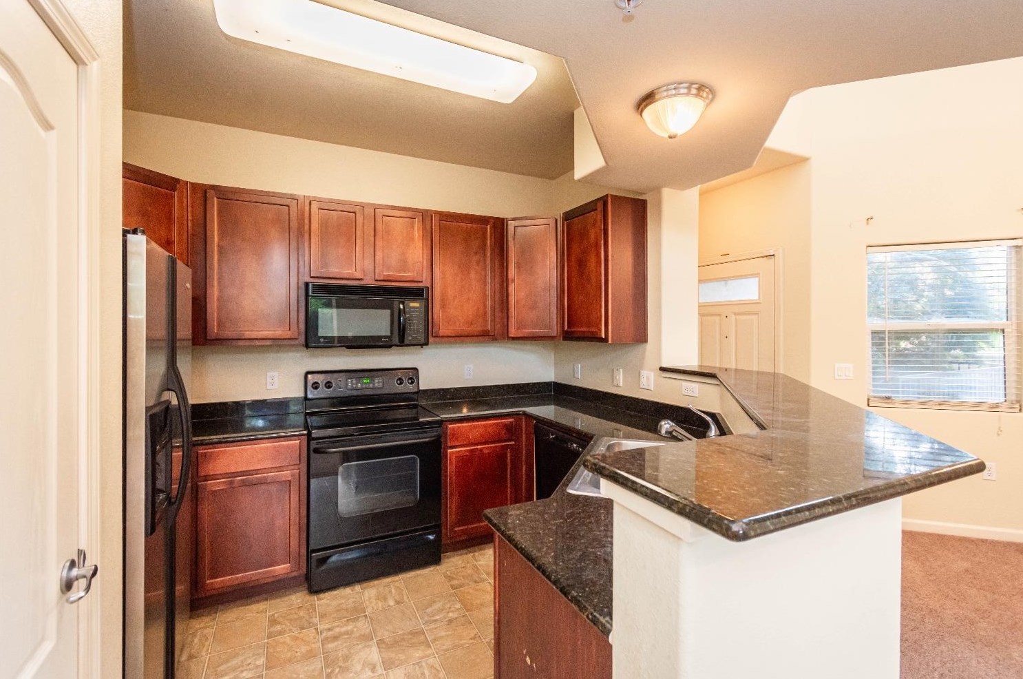
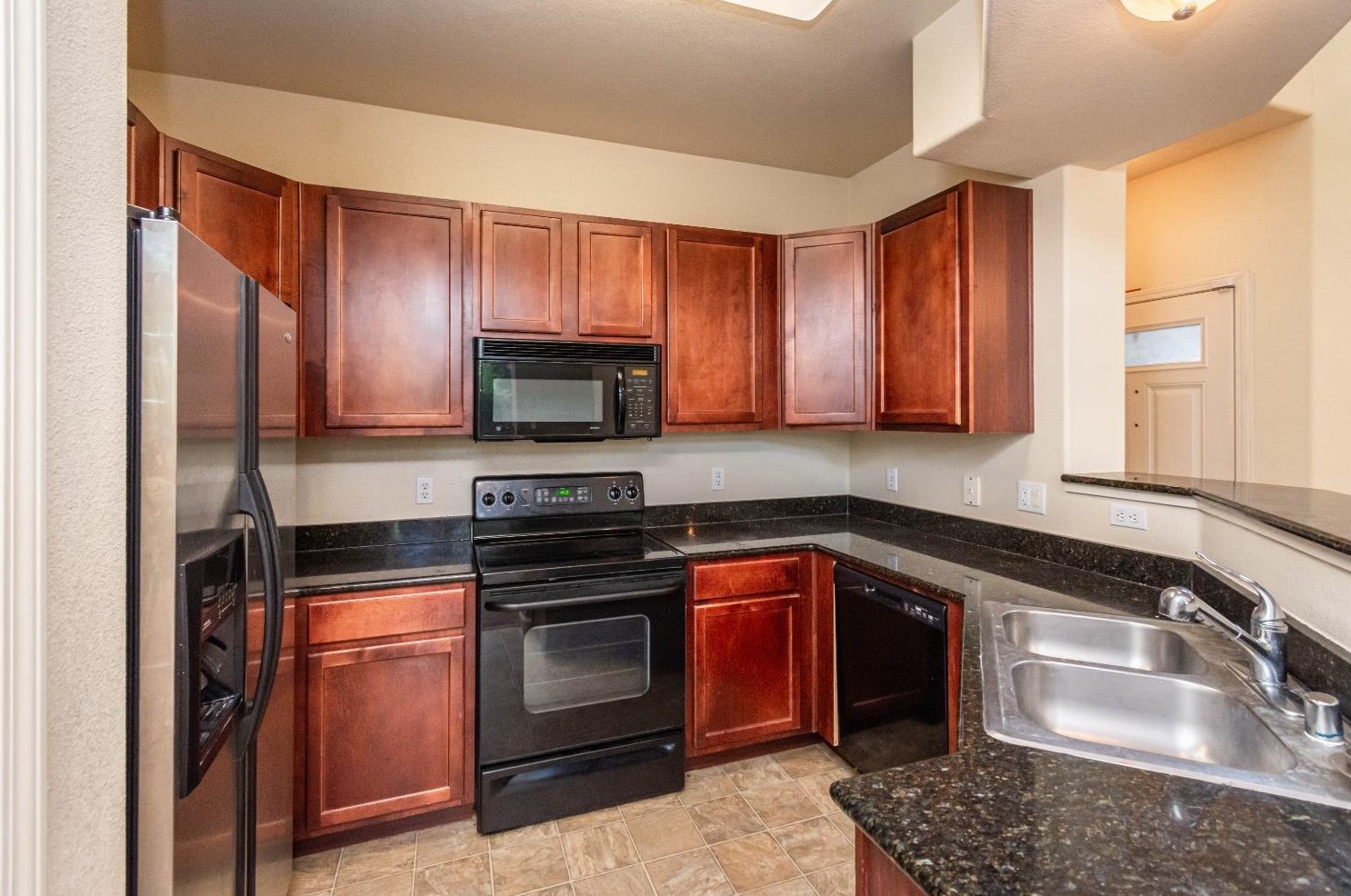
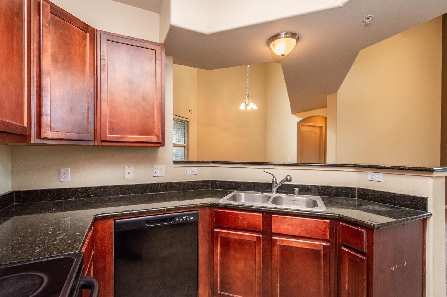
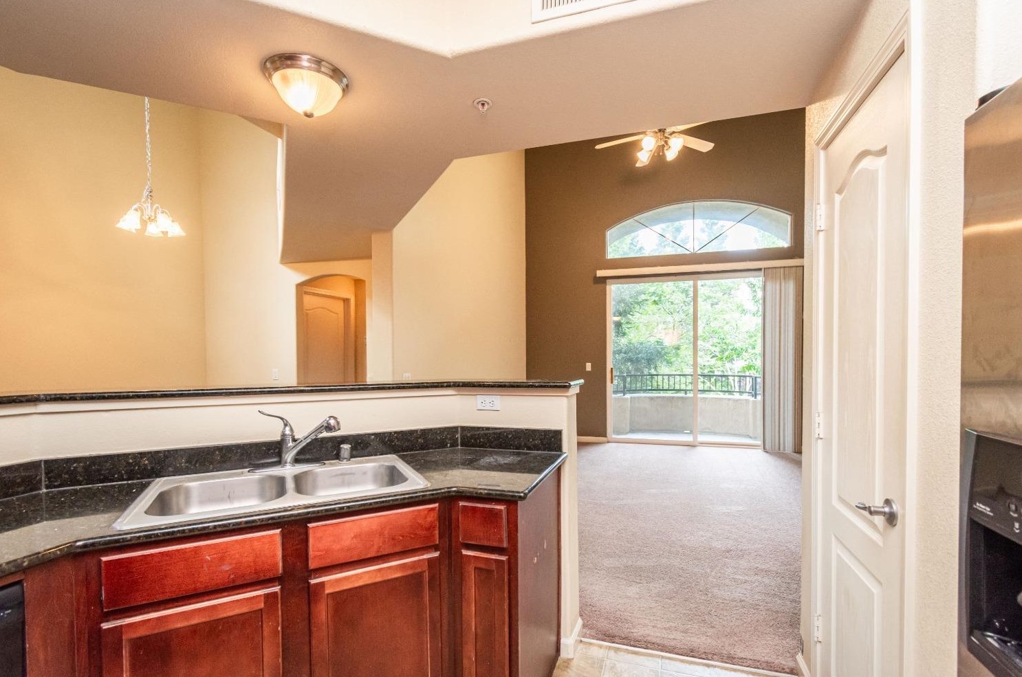
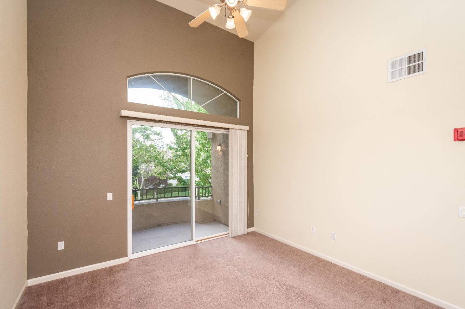
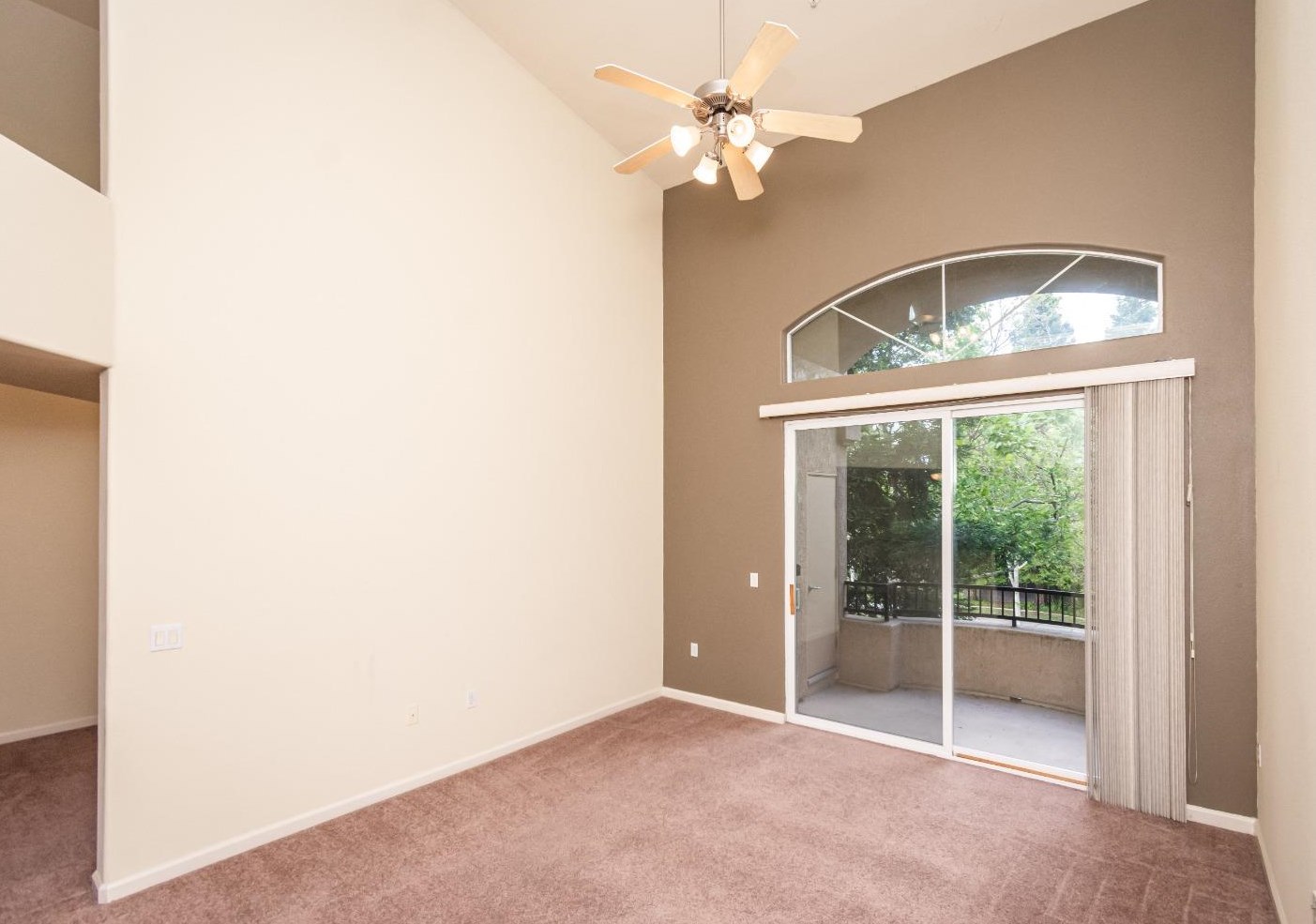
PURCHASE HISTORY 1900 Danbrook Dr, Sacramento CA
Cost estimate history
| Year | Tax | Assessment | Market |
|---|---|---|---|
| 2014 | $2,015 | $126,881 | N/A |
Market Activities
To date, we have no information about market activities in 2025
Jun 2024
Sold
May 2024
Listed for sale
May 2024
Sold
May 2024
Sold
Apr 2024
Listed for sale
Apr 2024
Sold
Mar 2024
Sold
Feb 2024
Listed for sale
Feb 2024
Sold
Jan 2024
Sold
Jan 2024
Sold
Dec 2023
Sold
Dec 2023
Sold
Nov 2023
Sold
Oct 2023
Sold
Oct 2023
Listed for sale
Oct 2023
Sold
Sep 2023
Sold
Jun 2023
Listed for sale
Jun 2023
Sold
Building Permits
To date, we have no information about building permits in 2025
Jun 26, 2009
- Valuation: $90,000
- Fee: $84.86 paid to City of Sacramento, California
- Parcel #: 225-2080-001-0111
- Permit #: COM-0906822
Jun 26, 2009
- Valuation: $90,000
- Fee: $84.86 paid to City of Sacramento, California
- Parcel #: 225-2080-001-0111
- Permit #: COM-0906821
Mar 26, 2009
- Valuation: $240,000
- Fee: $88.96 paid to City of Sacramento, California
- Parcel #: 225-2080-001-0111
- Permit #: COM-0903251
1900 Danbrook Dr Fire Incident History
To date, we have no information about fire incidents in 2025
18 Jun 2013
Brush, or brush and grass mixture fire
Property Use —
Property Use, other
Area of Origin —
Open area - outside; included are farmland, field
First Ignition —
Light vegetation - not crop, including grass
25 Apr 2012
Passenger vehicle fire
Property Use —
1 or 2 family dwelling
Area of Origin —
Open area - outside; included are farmland, field
First Ignition —
Light vegetation - not crop, including grass
05 Jul 2006
Grass fire
Property Use —
Graded and cared-for plots of land
Area of Origin —
Open area - outside; included are farmland, field
First Ignition —
Light vegetation - not crop, including grass
Danbrook Dr Fire Incident History
To date, we have no information about fire incidents in 2025
28 Jun 2016
Natural vegetation fire, other
Property Use —
Playground
18 Jun 2013
Brush, or brush and grass mixture fire
Property Use —
Property Use, other
Area of Origin —
Open area - outside; included are farmland, field
First Ignition —
Light vegetation - not crop, including grass
25 Apr 2012
Passenger vehicle fire
Property Use —
1 or 2 family dwelling
Area of Origin —
Open area - outside; included are farmland, field
First Ignition —
Light vegetation - not crop, including grass
05 Jul 2006
Grass fire
Property Use —
Graded and cared-for plots of land
Area of Origin —
Open area - outside; included are farmland, field
First Ignition —
Light vegetation - not crop, including grass
Danbrook Dr Incidents registered in FEMA
(Federal Emergency Management Agency)
To date, we have no information about incidents registered in FEMA in 2025
22 Nov 2010
Outside rubbish, trash or waste fire
Property Use —
Street, other
04 Mar 2009
Gasoline or other flammable liquid spill
Property Use —
1 or 2 family dwelling
11 Feb 2007
Chimney or flue fire, confined to chimney or flue
Property Use —
1 or 2 family dwelling
Properties Nearby
| Street Address | Residens/Landlords |
|---|