
Cost estimate history
| Year | Tax | Assessment | Market |
|---|---|---|---|
| 2013 | N/A | $4,850 | $125,100 |
| 2012 | $536 | N/A | N/A |
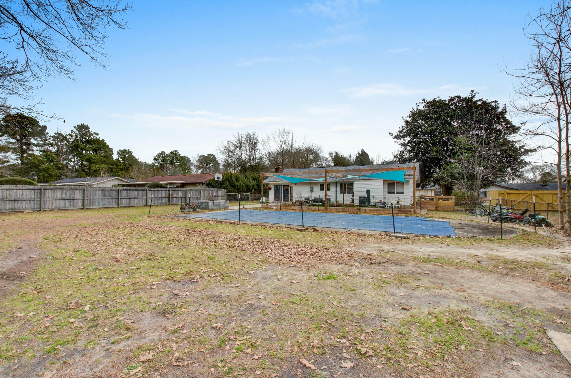
Market Activities
Tall Spruce Dr Fire Incident History
To date, we have no information about fire incidents in 2025
28 Apr 2019
Grass fire
Property Use —
Graded and cared-for plots of land
Area of Origin —
Outside area, other
First Ignition —
Light vegetation - not crop, including grass
28 Apr 2019
Outside rubbish fire, other
Property Use —
Outside or special property, other
Area of Origin —
Outside area, other
First Ignition —
Light vegetation - not crop, including grass
Heat Source —
Hot ember or ash
04 Jul 2010
Grass fire
Property Use —
1 or 2 family dwelling
Area of Origin —
Open area - outside; included are farmland, field
First Ignition —
Light vegetation - not crop, including grass
11 Apr 2010
Building fires
Property Use —
Parking garage, (detached residential garage)
Area of Origin —
Open area - outside; included are farmland, field
First Ignition —
Light vegetation - not crop, including grass
Heat Source —
Hot ember or ash
127 Tall Spruce Dr incidents registered in FEMA
(Federal Emergency Management Agency)
To date, we have no information about incidents registered in FEMA in 2025
18 Sep 2008
Mobile property (vehicle) fire, other
Property Use —
Street, other
Tall Spruce Dr Incidents registered in FEMA
(Federal Emergency Management Agency)
To date, we have no information about incidents registered in FEMA in 2025
11 Apr 2010
Building fires
Property Use —
1 or 2 family dwelling
11 Oct 2008
Outside storage fire
Property Use —
Outbuilding or shed
18 Sep 2008
Mobile property (vehicle) fire, other
Property Use —
Street, other
31 May 2001
Smoke scare, odor of smoke
Property Use —
1 or 2 family dwelling
Properties Nearby
| Street Address | Residens/Landlords |
|---|