
Cost estimate history
| Year | Tax | Assessment | Market |
|---|---|---|---|
| 2013 | $2,741 | $69,510 | N/A |
| 2011 | N/A | N/A | $198,600 |
Market Activities
To date, we have no information about market activities in 2025
Feb 2023
Sold
Jan 2023
Sold
Dec 2022
Sold
Marysville Rd Fire Incident History
To date, we have no information about fire incidents in 2025
20 Jan 2008
Grass fire
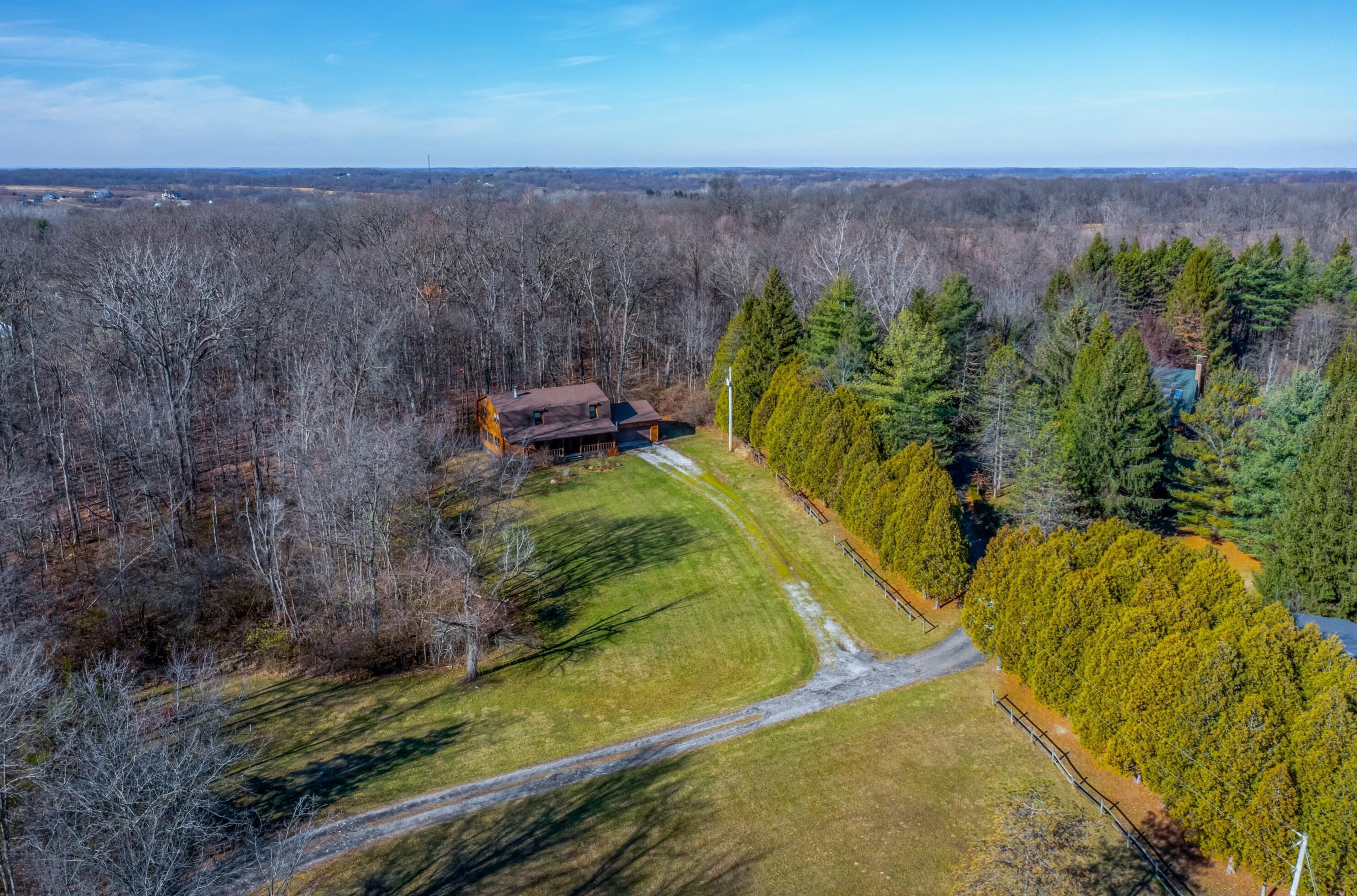
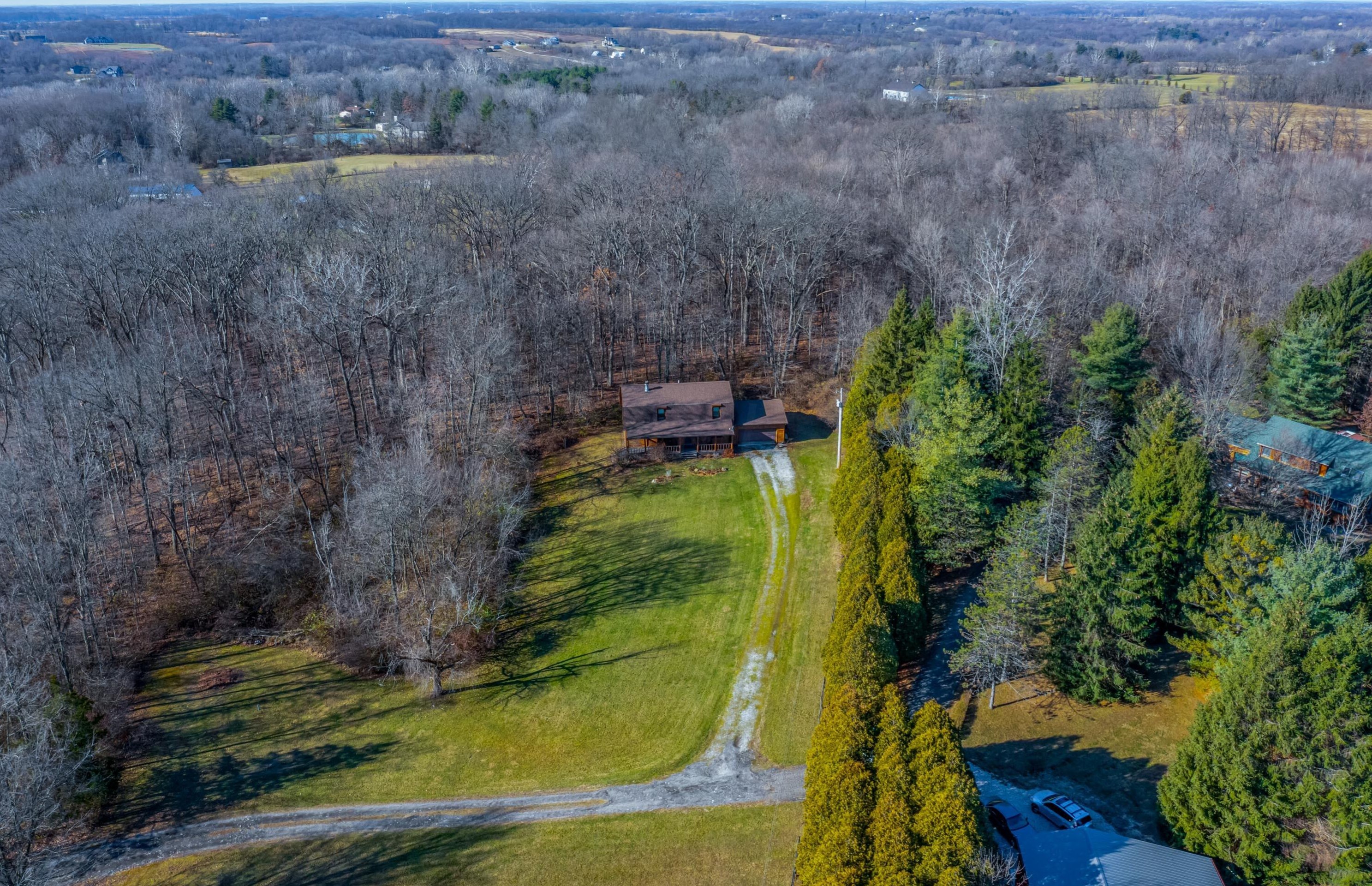
Property Use —
Open land or field
Area of Origin —
Open area - outside; included are farmland, field
First Ignition —
Light vegetation - not crop, including grass
30 Nov 2002
Passenger vehicle fire
Area of Origin —
Engine area, running gear, wheel area
Marysville Rd Incidents registered in FEMA
(Federal Emergency Management Agency)
To date, we have no information about incidents registered in FEMA in 2025
22 Jun 2015
Unauthorized burning
Property Use —
Open land or field
13 May 2013
Arcing, shorted electrical equipment
Property Use —
Church, mosque, synagogue, temple, chapel
16 Oct 2012
Electrical wiring/equipment problem, other
Property Use —
Residential street, road or residential driveway
02 Feb 2011
Power line down
Property Use —
Street or road in commercial area
Properties Nearby
| Street Address | Residens/Landlords |
|---|