


Cost estimate history
| Year | Tax | Assessment | Market |
|---|---|---|---|
| 2014 | $1,400 | $149,100 | N/A |
Market Activities
To date, we have no information about market activities in 2025
Jun 2024
Sold
Apr 2024
Sold
Jan 2018
Sold
Ashers Path Fire Incident History
To date, we have no information about fire incidents in 2025
28 Dec 2003
Road freight or transport vehicle fire
Property Use —
Dump, sanitary landfill
Area of Origin —
Cargo/trunk area - all vehicles
Ashers Path Incidents registered in FEMA
(Federal Emergency Management Agency)
To date, we have no information about incidents registered in FEMA in 2025
26 Jul 2015
Unauthorized burning
Property Use —
1 or 2 family dwelling
25 Jul 2013
Power line down
Property Use —
Sanitation utility
17 Apr 2012
Unauthorized burning
Property Use —
1 or 2 family dwelling
05 Jun 2010
Carbon monoxide incident
Property Use —
1 or 2 family dwelling
Properties Nearby
| Street Address | Residens/Landlords | |
|---|---|---|
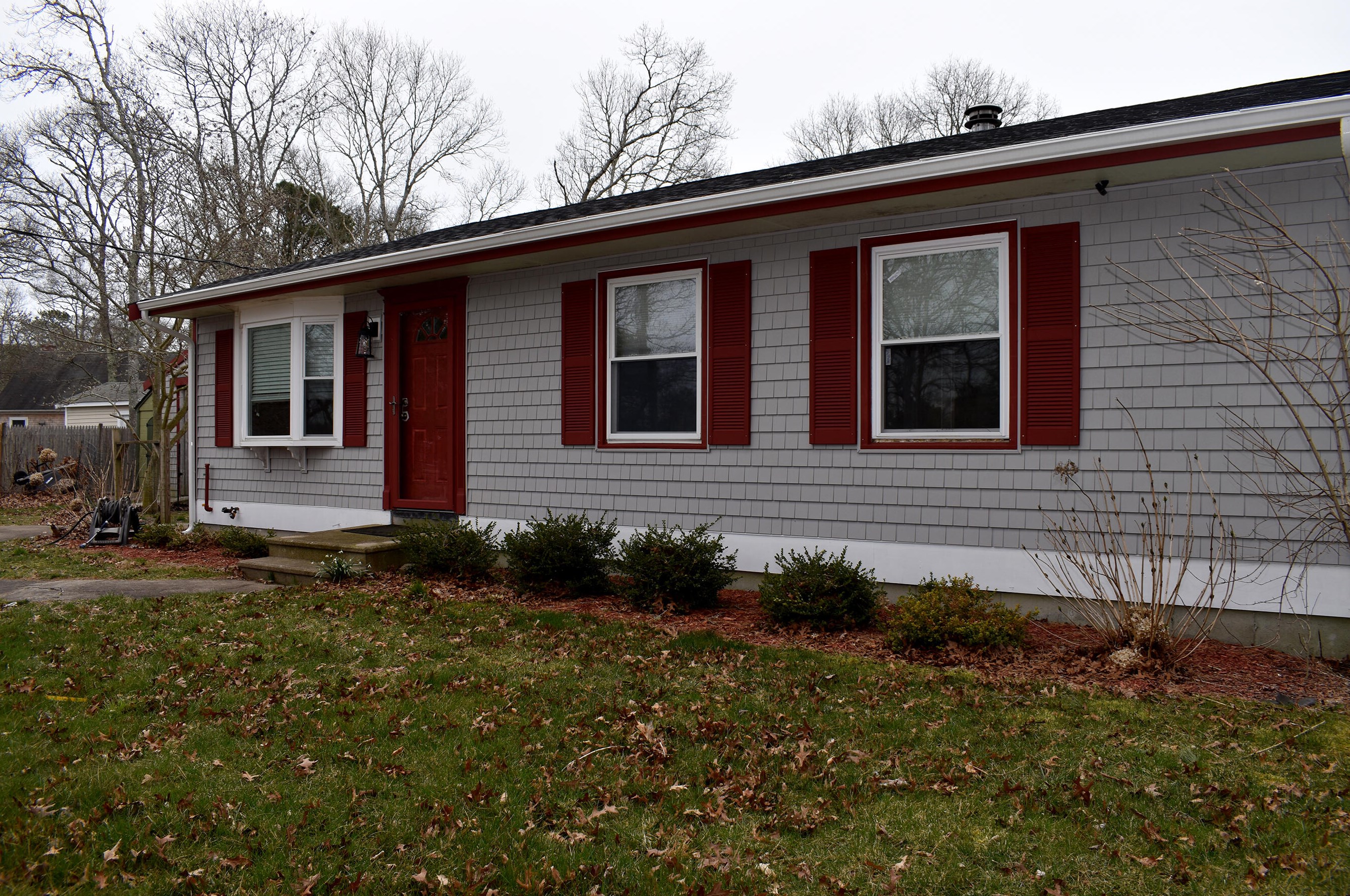
205 Ashers Path, Mashpee, MA 02649-2838 Single Family
|
Jeffrey W Smith, Vis Auntie | |
209 Ashers Path, Mashpee, MA 02649-2838 Single Family
|
B Bourette, Dawna R Desharnais | |
224 Ashers Path, Mashpee, MA 02649-2835 Single Family
|
Lewis H Atkins, Louise O Atkins |