26 Liberty St Taunton, MA 02718 / 1119

Residence for Single Family

(UPDATED: 07/09/2025)
  • 2 Beds
  • 1 Baths
  • 1.303 square feet
Sold Aug 2021
$404,000
Property Report

Information about property on 26 Liberty St, Taunton MA, 02718-1119. Find out owner contacts, building history, price, neighborhood at Homemetry Address Directory.

Property Details

As is shown in our records this property is situated at 26 Liberty St, Taunton, MA.

Facts

  • Built in 1897
  • Lot size 7,405 sqft
  • Floor size 1,303 sqft
  • Rooms 6
  • Stories 2
  • Heating & Cooling
  • Heat type Other
  • Exterior Home Features
  • Exterior material Vinyl
  • Roof type Shake Shingle

Misc

  • Units 1

Listing info

  • Last sold Jul 1988 for $65,000

Householders and Tenants for 26 Liberty St, Taunton MA

Possible residents contact details

Person Name Phone Number Additional Info
Alysia D Johnson Age: 39
Alysia D Walsh Age: 39
Residential status:
Homeowner
Donna Dugan
Residential status:
Homeowner
Job:
Production Occupations
Jodi Elliott Age: 59
John P Dugan Age: 69
Residential status:
Homeowner
Job:
Production Occupations
Tanya Fishman
Residential status:
Renter
Job:
Machine Operators, Assemblers, and Inspectors Occupations

Where is 26 Liberty St, Taunton MA located on map?

Market Activities

To date, we have no information about market activities in 2025
Aug 2021 Sold
26 Liberty St
Price history :
  • Single Family
  • 1,488 sqft
  • 4 beds
  • 2 baths
Jun 2021 Sold
26 Liberty St
Price history :
  • Single Family
  • 1,488 sqft
  • 4 beds
  • 2 baths

View more

Liberty St Fire Incident History

To date, we have no information about fire incidents in 2025
07 Feb 2016 Passenger vehicle fire
Property Use —
Residential street, road or residential driveway
16 Nov 2013 Fire, other
Property Use —
1 or 2 family dwelling
Area of Origin —
Outside area, other
First Ignition —
Multiple items first ignited
Heat Source —
Match
17 May 2013 Special outside fire, other
Property Use —
1 or 2 family dwelling
Area of Origin —
Outside area, other
First Ignition —
Flammable liquid/gas in container or pipe
Heat Source —
Flame/torch used for lighting
15 Apr 2008 Brush, or brush and grass mixture fire
Property Use —
Open land or field
Area of Origin —
Outside area, other

View more

Liberty St Incidents registered in FEMA
(Federal Emergency Management Agency)

To date, we have no information about incidents registered in FEMA in 2025
19 Jul 2014 Unauthorized burning
Property Use —
Residential street, road or residential driveway
17 Nov 2013 Unauthorized burning
Property Use —
Graded and cared-for plots of land
25 Apr 2011 Prescribed fire
Property Use —
1 or 2 family dwelling
09 Dec 2010 Cooking fire, confined to container
Property Use —
1 or 2 family dwelling

View more

Properties Nearby

Street AddressResidens/Landlords
20 Liberty St, Taunton, MA 02718-1108
Multiple Occupancy
  • 4 beds
  • 2 baths
  • 2,608 sqft
  • Built in 1900
Daniel J Fernandez, Susana D Fernandez
21 Liberty St, Taunton, MA 02718-1109
Multiple Occupancy
  • 3 beds
  • 2 baths
  • 1,690 sqft
  • Built in 1870
James D Ambers, Jennifer A Carter
22 Liberty St, Taunton, MA 02718-1108
Multiple Occupancy
  • 6 beds
  • 2 baths
  • 2,504 sqft
  • Built in 1900
Frederick Hill Jr, Beatrice Medeiros
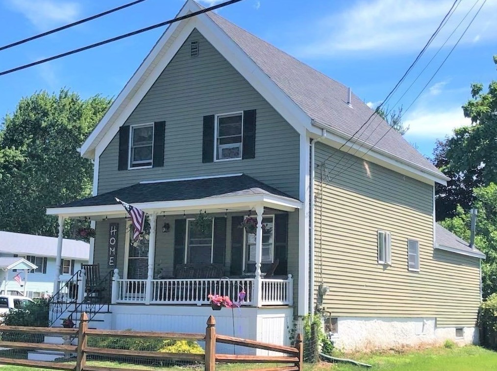
23 Liberty St, Taunton, MA 02718-1109
Single Family
  • 3 beds
  • 2.5 baths
  • 1,490 sqft
  • Built in 1990
Joan M Botelho, Joann Botelho
25 Liberty St, Taunton, MA 02718-1109
Single Family
  • 4 beds
  • 1 bath
  • 2,007 sqft
  • Built in 1880
Greg B Conefrey, Franco R Innocenzi
 

FAQ about the house at 26 Liberty St, Taunton, MA


NOTICE: You may not use SpamRoom or the information it provides to make decisions about employment, credit, housing or any other purpose that would require Fair Credit Reporting Act (FCRA) compliance. SpamRoom is not a Consumer Reporting Agency (CRA) as defined by the FCRA and does not provide consumer reports.