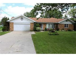
Cost estimate history
| Year | Tax | Assessment | Market |
|---|---|---|---|
| 2013 | $3,749 | $56,600 | N/A |
| 2011 | N/A | N/A | $161,700 |
Market Activities
Pemberville Rd Fire Incident History
To date, we have no information about fire incidents in 2025
15 Apr 2017
Special outside fire, other
Property Use —
1 or 2 family dwelling
Area of Origin —
Outside area, other
First Ignition —
Organic materials, other
Heat Source —
Match
06 Jul 2016
Natural vegetation fire, other
Property Use —
Open land or field
Area of Origin —
Open area - outside; included are farmland, field
First Ignition —
Agricultural crop, including fruits and vegetables
Heat Source —
Backfire from internal combustion engine
24 Mar 2013
Building fires
Property Use —
1 or 2 family dwelling
Area of Origin —
Laundry area, wash house (laundry)
First Ignition —
Dust, fiber, lint, including sawdust and excelsior
Heat Source —
Radiated, conducted heat from operating equipment
26 Oct 2003
Building fires
Property Use —
Outbuilding, protective shelter
Area of Origin —
Ceiling & floor assembly, crawl space b/t stories
Pemberville Rd Incidents registered in FEMA
(Federal Emergency Management Agency)
To date, we have no information about incidents registered in FEMA in 2025
08 Nov 2012
Unauthorized burning
Property Use —
Graded and cared-for plots of land
15 Aug 2010
Power line down
Property Use —
Residential street, road or residential driveway
03 Aug 2007
Authorized controlled burning
Property Use —
Graded and cared-for plots of land
22 Sep 2005
Power line down
Property Use —
Highway or divided highway
Properties Nearby
| Street Address | Residens/Landlords |
|---|