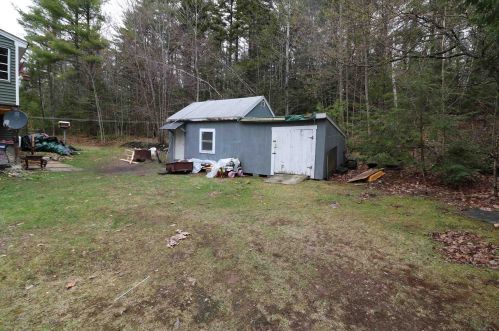
252 North St Rindge, NH 03461 / 5946

Residence for Single Family

(UPDATED: 04/09/2025)
  • 2 Beds
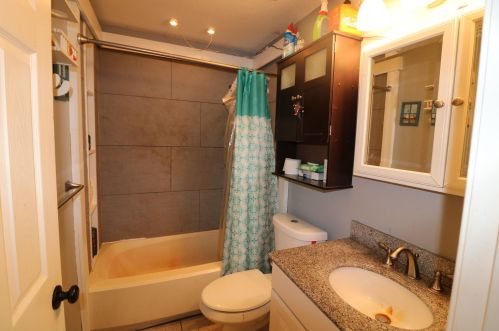
  • 1 Baths
  • 1.95 acres
Sold Sep 2023
$365,000
Property Report

Information about property on 252 North St, Rindge NH, 03461-5946. Find out owner contacts, building history, price, neighborhood at Homemetry Address Directory.

Property Details

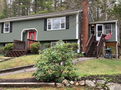
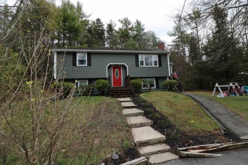
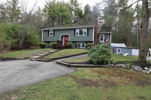
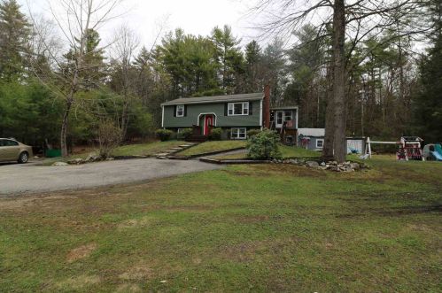
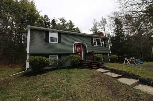
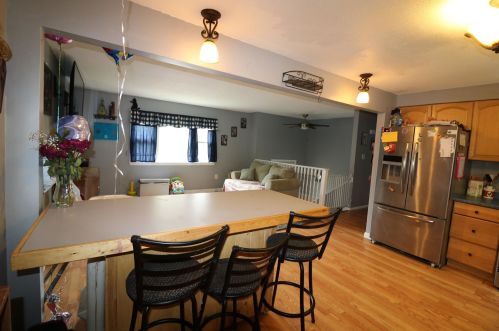
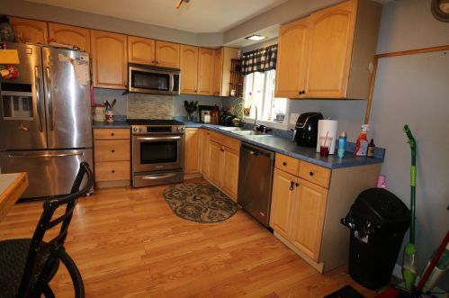
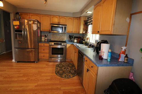
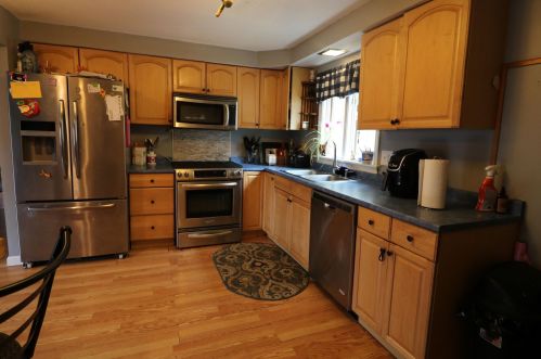
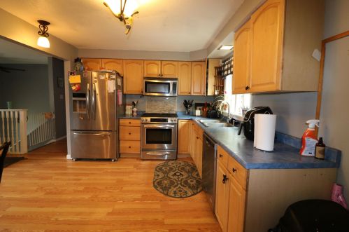
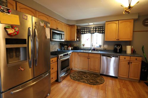
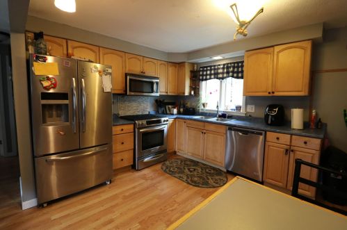
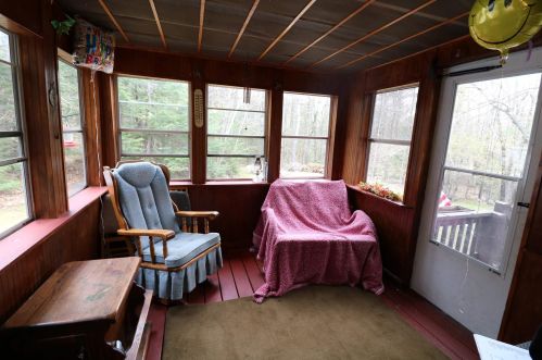
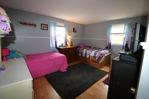
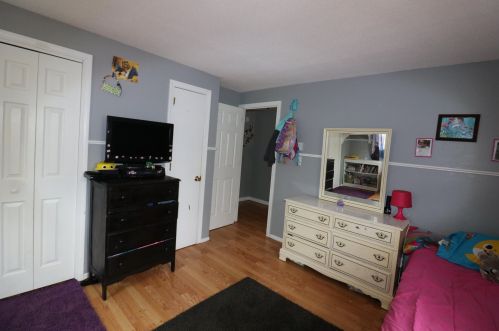
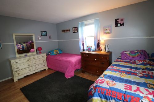
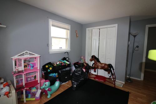
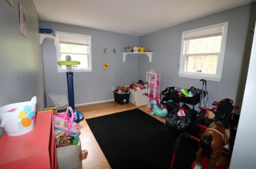
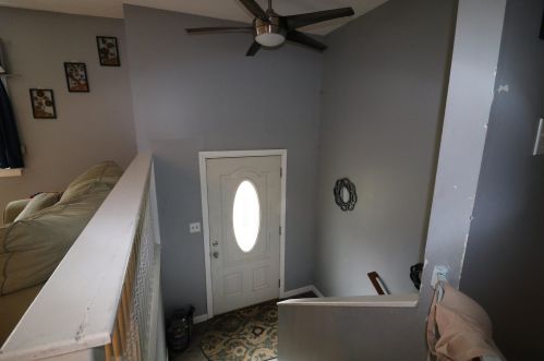
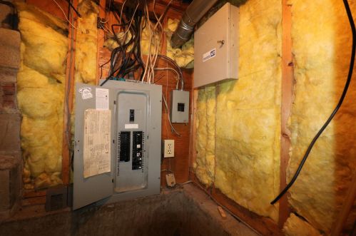
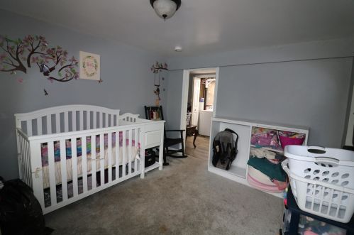
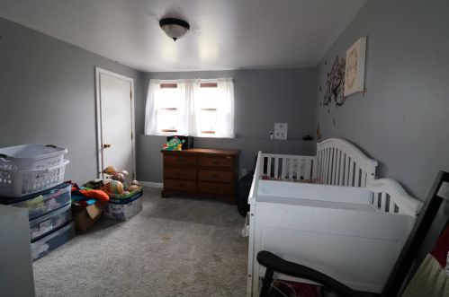
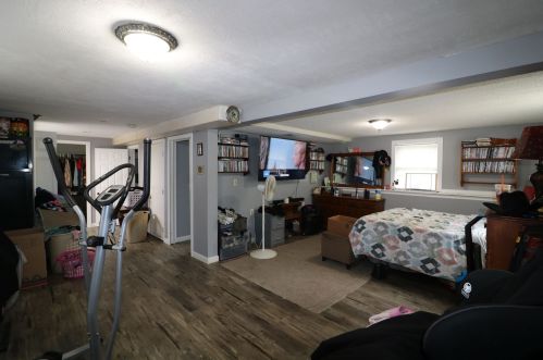
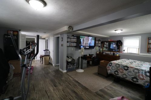
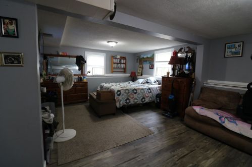
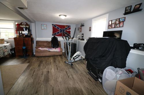
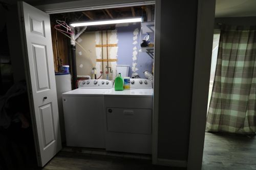
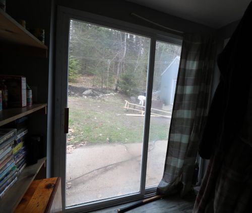
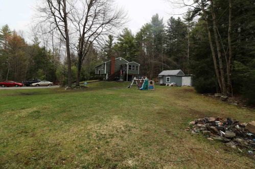
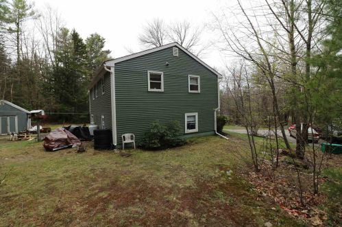
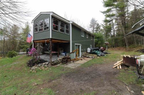
The single-family ranch is placed at the end of the street at 252 North Street, Rindge, New Hampshire.

Facts

  • Built in 1982
  • Lot size 1,95 acres
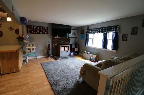
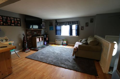
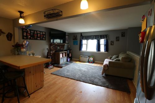
  • Rooms 5
  • Bedrooms 2
  • Stories 1 story
  • Style Raised Ranch
  • Heating & Cooling
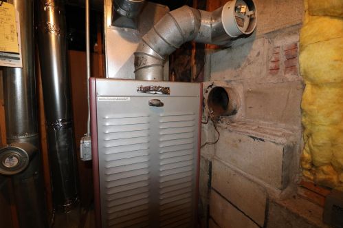
  • Heat type Forced air unit
  • Exterior Home Features
  • Exterior material Wood
  • Exterior walls Wood Siding
  • Roof type Asphalt

Misc

  • Units 1

Listing info

  • Last sold Sep 2009 for $162,000

Householders and Tenants for 252 North St, Rindge NH

Possible residents contact details

Person Name Phone Number Additional Info
Anthony Buckingham
603-899-****
Residential status:
Homeowner
Job:
Installation, Maintenance, and Repair Occupations
Betty A Benson Age: 86
603-899-****
Earle L Baldwin
603-899-****
Erin Jablonski Age: 42
Residential status:
Renter
Gamal A Ragheb Age: 65
603-899-****
Louise E Baldwin Age: 92
603-899-****
Patricia Buckingham
603-899-****
Residential status:
Homeowner
Job:
Installation, Maintenance, and Repair Occupations
William Buckingham
603-899-****

Purchase History

DateEventPriceSourceAgents
09/14/2009 Sold $162,000 Public records
12/15/2005 Sold $221,000 Public records

Cost estimate history

YearTaxAssessmentMarket
2013 $4,145 $162,800 N/A

Where is 252 North St, Rindge NH located on map?

Market Activities

To date, we have no information about market activities in 2025
Sep 2023 Sold
252 North St
Price history :
  • Single Family
  • 1,716 sqft
  • 3 beds
  • 1 bath
May 2021 Sold
252 North St
Price history :
  • Single Family
  • 1,716 sqft
  • 3 beds
  • 1 bath

View more

North St Fire Incident History

To date, we have no information about fire incidents in 2025
22 Jul 2017 Fire, other
Property Use —
Church, mosque, synagogue, temple, chapel
Area of Origin —
Highway, parking lot, street: on or near
Heat Source —
Heat source: other
05 Aug 2012 Building fires
Property Use —
1 or 2 family dwelling
Area of Origin —
Roof surface: exterior
First Ignition —
Exterior roof covering or finish
Heat Source —
Lightning
17 Jul 2011 Passenger vehicle fire
Property Use —
Residential street, road or residential driveway
Area of Origin —
Vehicle area, other
26 May 2010 Building fires
Property Use —
1 or 2 family dwelling
Area of Origin —
Storage room, area, tank, or bin
First Ignition —
Electrical wire, cable insulation
Heat Source —
Lightning

View more

St Incidents registered in FEMA
(Federal Emergency Management Agency)

To date, we have no information about incidents registered in FEMA in 2025
26 Apr 2014 Gas leak (natural gas or LPG)
Property Use —
1 or 2 family dwelling
01 May 2013 Chimney or flue fire, confined to chimney or flue
05 Aug 2012 Building fires

Properties Nearby

Street AddressResidens/Landlords
28 St, Rindge, NH 03461-5941
Single Family Residential
  • 3 beds
  • 1.5 baths
  • Lot: 0.98 acres
  • Built in 1900
J Arsenault, Judith L Arsenault
49 St, Rindge, NH 03461-5943
Single Family Residential
  • 2 beds
  • 1 bath
  • Lot: 0.67 acres
  • Built in 1864
Katherine M Lafreniere
62 St, Rindge, NH 03461-5942
Lot/Land
  • 3 beds
  • 1 bath
  • Lot: 9.87 acres
  • Built in 1900
Danny R Ford
70 St, Rindge, NH 03461-5942
Single Family Residential
  • 3 beds
  • 1 bath
  • Lot: 1.64 acres
  • Built in 1900
Donna M Mcelroy, William R Mcelroy
 

FAQ about the house at 252 St, Rindge, NH


NOTICE: You may not use SpamRoom or the information it provides to make decisions about employment, credit, housing or any other purpose that would require Fair Credit Reporting Act (FCRA) compliance. SpamRoom is not a Consumer Reporting Agency (CRA) as defined by the FCRA and does not provide consumer reports.