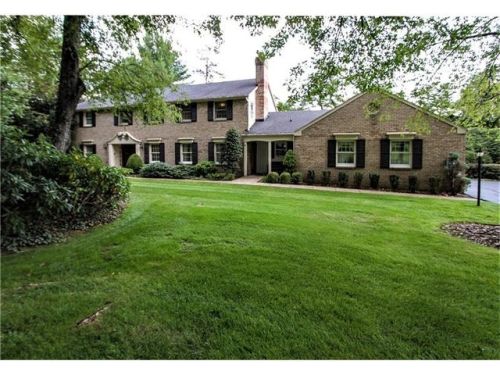
Cost estimate history
| Year | Tax | Assessment | Market |
|---|---|---|---|
| 2014 | N/A | $640,300 | N/A |
| 2013 | N/A | N/A | $658,300 |
| 2011 | $2,641 | N/A | N/A |
Market Activities
Pheasant Dr Fire Incident History
To date, we have no information about fire incidents in 2025
26 Jul 2018
Building fires
Property Use —
1 or 2 family dwelling
Area of Origin —
Cooking area, kitchen
First Ignition —
Appliance housing or casing
Heat Source —
Spark, ember or flame from operating equipment
26 Jul 2018
Building fires
Property Use —
1 or 2 family dwelling
Area of Origin —
Cooking area, kitchen
First Ignition —
Cooking materials, including edible materials
Heat Source —
Spark, ember or flame from operating equipment
26 Jul 2018
Fire, other
Property Use —
1 or 2 family dwelling
Area of Origin —
Cooking area, kitchen
First Ignition —
Cooking materials, including edible materials
Heat Source —
Multiple heat sources including multiple ignitions
26 Jul 2018
Building fires
Property Use —
1 or 2 family dwelling
Area of Origin —
Cooking area, kitchen
First Ignition —
Cooking materials, including edible materials
Heat Source —
Multiple heat sources including multiple ignitions
Pheasant Dr Incidents registered in FEMA
(Federal Emergency Management Agency)
To date, we have no information about incidents registered in FEMA in 2025
29 Apr 2015
Electrical wiring/equipment problem, other
Property Use —
1 or 2 family dwelling
04 Oct 2010
Carbon monoxide incident
07 Jul 2004
Trash or rubbish fire, contained
Property Use —
1 or 2 family dwelling
Properties Nearby
| Street Address | Residens/Landlords |
|---|