Cost estimate history
| Year | Tax | Assessment | Market |
|---|---|---|---|
| 2013 | $3,946 | $155,000 | N/A |
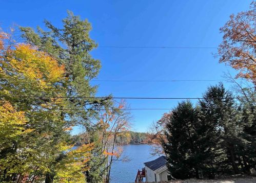
Market Activities
Kimball Rd Fire Incident History
To date, we have no information about fire incidents in 2025
17 May 2015
Off-road vehicle or heavy equipment fire
Property Use —
1 or 2 family dwelling
Area of Origin —
Fuel tank, fuel line
First Ignition —
Item First Ignited, Other
Heat Source —
Heat from powered equipment, other
02 Feb 2011
Building fires
Property Use —
1 or 2 family dwelling
Area of Origin —
Exterior balcony, unenclosed porch
First Ignition —
Rubbish, trash, or waste
Heat Source —
Radiated heat from another fire
Kimball Rd Incidents registered in FEMA
(Federal Emergency Management Agency)
To date, we have no information about incidents registered in FEMA in 2025
25 Dec 2015
Chimney or flue fire, confined to chimney or flue
28 Jun 2015
Power line down
Property Use —
Residential street, road or residential driveway
28 Jun 2015
Power line down
Property Use —
1 or 2 family dwelling
Properties Nearby
| Street Address | Residens/Landlords | |
|---|---|---|
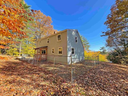
60 Kimball Rd, Rindge, NH 03461-5007 Single Family
|
Bruce A Fagerquist, Sharon A Fagerquist | |
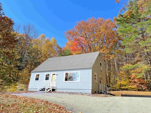
74 Kimball Rd, Rindge, NH 03461-5007 Single Family Residential
|
John Lachiana, Sheila Lachiana | |
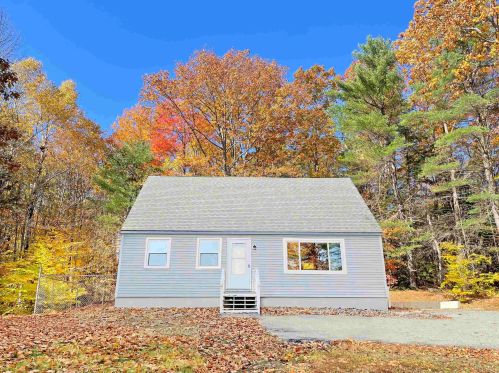
77 Kimball Rd, Rindge, NH 03461-5008 Single Family
|
Wood Fairy Designs, Thomas P Chabot |