
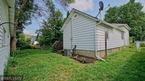
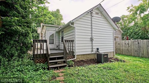
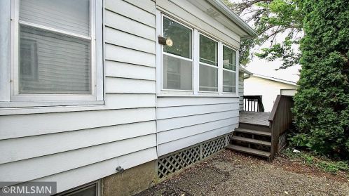
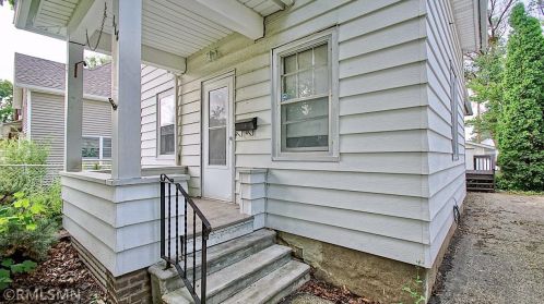
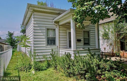
Cost estimate history
| Year | Tax | Assessment | Market |
|---|---|---|---|
| 2014 | $808 | $77,500 | $77,500 |
Market Activities
6th St Fire Incident History
To date, we have no information about fire incidents in 2025
23 Feb 2018
Building fires
Property Use —
1 or 2 family dwelling
Area of Origin —
Bedroom - < 5 persons; included are jail or prison
First Ignition —
Bedding; blanket, sheet, comforter
Heat Source —
Cigarette lighter
20 Dec 2012
Building fires
Property Use —
1 or 2 family dwelling
Area of Origin —
Dining room, cafeteria bar area, beverage service
First Ignition —
Appliance housing or casing
Heat Source —
Molten, hot material
12 Jul 2012
Fires in structures other than in a building
Property Use —
1 or 2 family dwelling
Area of Origin —
Exterior balcony, unenclosed porch
First Ignition —
Light vegetation - not crop, including grass
Heat Source —
Cigarette
18 May 2010
Passenger vehicle fire
Property Use —
Street, other
Area of Origin —
Engine area, running gear, wheel area
Heat Source —
Heat source: other
6 St Incidents registered in FEMA
(Federal Emergency Management Agency)
To date, we have no information about incidents registered in FEMA in 2025
15 Sep 2015
Gas leak (natural gas or LPG)
Property Use —
Graded and cared-for plots of land
22 Aug 2015
Power line down
Property Use —
1 or 2 family dwelling
12 Mar 2015
Carbon monoxide incident
Property Use —
1 or 2 family dwelling
19 Dec 2014
Gasoline or other flammable liquid spill
Property Use —
Residential street, road or residential driveway
Properties Nearby
| Street Address | Residens/Landlords | |
|---|---|---|
110 6 St, Red Wing, MN 55066-2720 Unspecified
|
Michael J Kittelson, Tammy M Kittelson | |
113 6 St, Red Wing, MN 55066-2721 Single Family Residential
|
Brenda A Anway, Kelly G Anway | |
114 6 St, Red Wing, MN 55066-2720 Single Family Residential
|
Michelle Baisley, Michelle Cory | |
115 6 St, Red Wing, MN 55066-2721 Single Family Residential
|
Donna L Giere, Hubert A Giere | |
117 6 St, Red Wing, MN 55066-2721 Single Family Residential
|
Dolores D Paton, William F Paton | |
120 6 St, Red Wing, MN 55066-2720 Single Family Residential
|
Della B Kirtz | |
121 6 St, Red Wing, MN 55066-2721 Single Family Residential
|
Staci Sharpen, Jason Vanberg | |
122 6 St, Red Wing, MN 55066-2720 Single Family Residential
|
Northern Corals, John D Blue |