
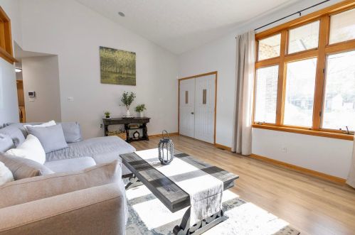

Cost estimate history
| Year | Tax | Assessment | Market |
|---|---|---|---|
| 2012 | $2,689 | $72,360 | $206,740 |
Market Activities
To date, we have no information about market activities in 2025
Sep 2023
Sold
May 2023
Listed for sale
Apr 2021
Sold
Apr 2016
Sold
Mar 2016
Sold
Mar 2016
Sold
Adare Rd Fire Incident History
To date, we have no information about fire incidents in 2025
18 Nov 2016
Brush, or brush and grass mixture fire
Property Use —
Graded and cared-for plots of land
Area of Origin —
Wildland, woods
First Ignition —
Light vegetation - not crop, including grass
Heat Source —
Flying brand, ember, spark
09 Dec 2005
Building fires
Property Use —
1 or 2 family dwelling
Area of Origin —
Corridor, mall
First Ignition —
Item First Ignited, Other
Heat Source —
Arcing
Adare Rd Incidents registered in FEMA
(Federal Emergency Management Agency)
To date, we have no information about incidents registered in FEMA in 2025
13 Sep 2012
Unauthorized burning
Property Use —
1 or 2 family dwelling
14 Sep 2008
Arcing, shorted electrical equipment
Property Use —
1 or 2 family dwelling
10 Dec 2003
Service Call, other
Property Use —
1 or 2 family dwelling
30 Jul 2002
EMS call, excluding vehicle accident with injury
Property Use —
1 or 2 family dwelling
Properties Nearby
| Street Address | Residens/Landlords |
|---|